Related Images


Download:
| Tiny | 173x128 | View | Download |
| Small | 346x256 | View | Download |
| Medium | 693x512 | View | Download |
| Large | 1387x1024 | View | Download |
| Original | 2994x2210 | View | Download |
This image was acquired from
wikimedia. It was marked as Public Domain or CC0 and is free to use. To verify, go to the source and check the information there.
Looking for more info about this image?
Try a Google Reverse Image Search for it.
Try a Google Reverse Image Search for it.
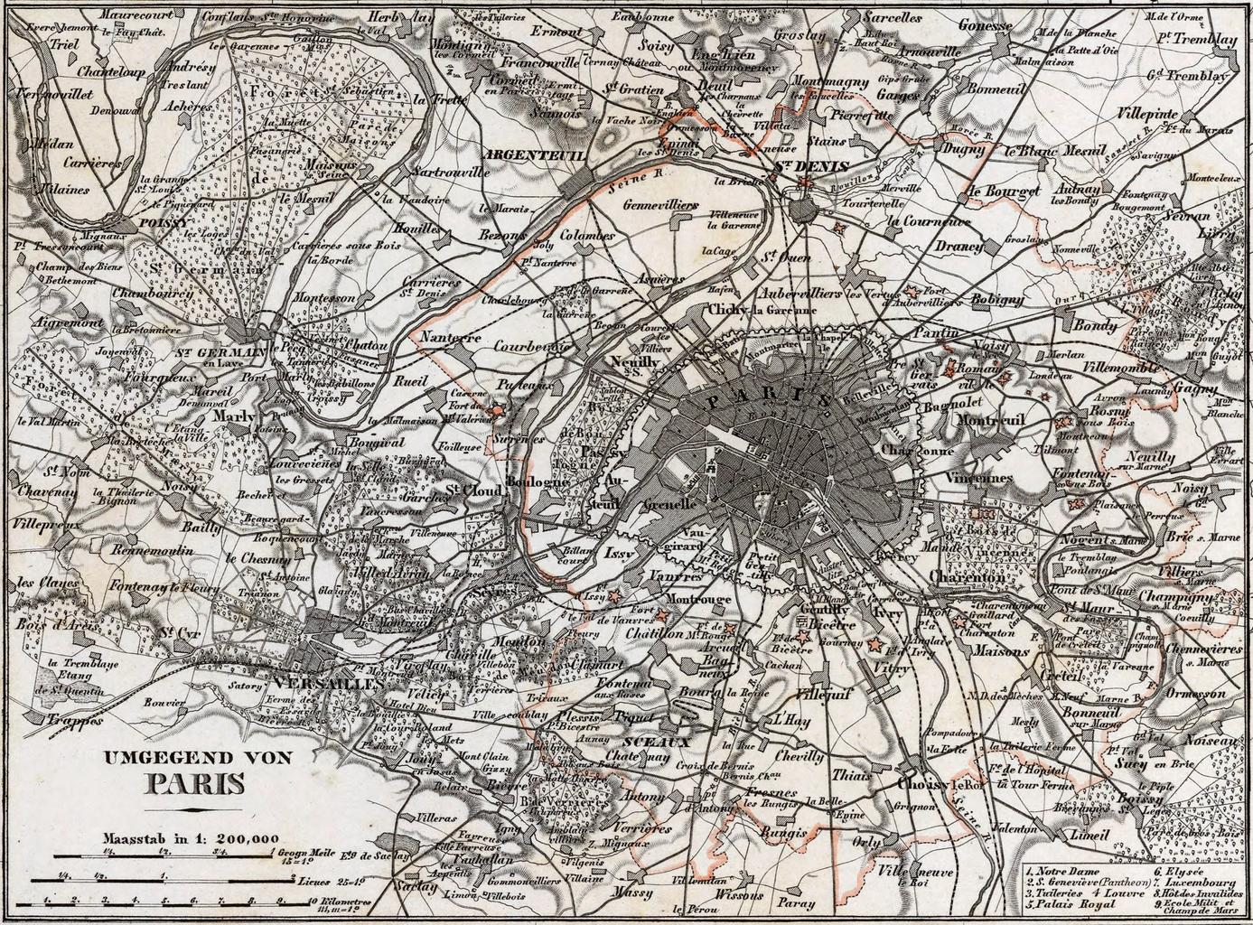
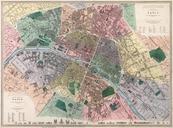
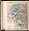
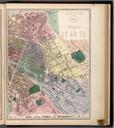
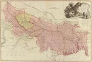
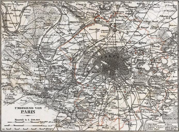
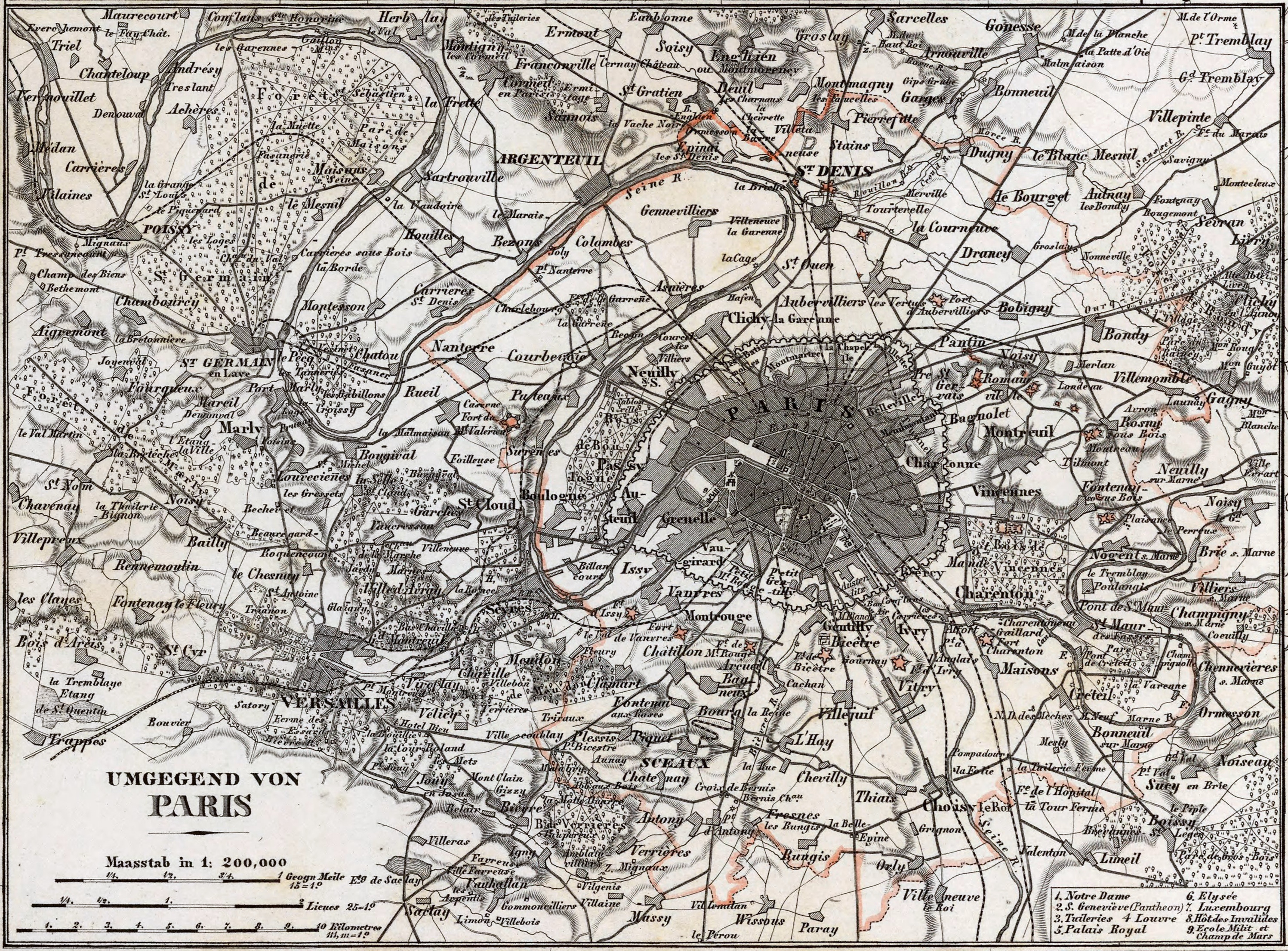
Keywords from Image Description:
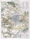
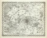
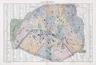
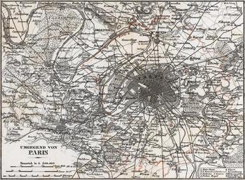
Geographisches Institut Umgegend von Paris David Rumsey. Outline hand color map in plates each or smaller Title from lower right plate Insets on sheet Color coded by region Shows cities and towns roads railroads rivers etc Includes legend Relief shown by hachures Prime meridians are Ferro and Paris Size cm Scale David Rumsey