
Related Images


Download:
| Tiny | 84x128 | View | Download |
| Small | 168x256 | View | Download |
| Medium | 336x512 | View | Download |
| Large | 672x1024 | View | Download |
| Original | 1629x2480 | View | Download |
This image was acquired from
wikimedia. It was marked as Public Domain or CC0 and is free to use. To verify, go to the source and check the information there.
Looking for more info about this image?
Try a Google Reverse Image Search for it.
Try a Google Reverse Image Search for it.
Keywords from Image Description:
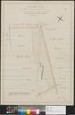
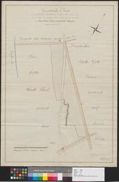
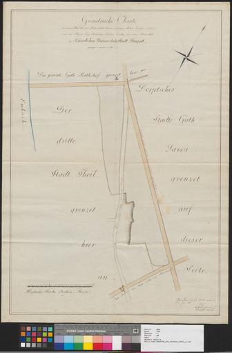
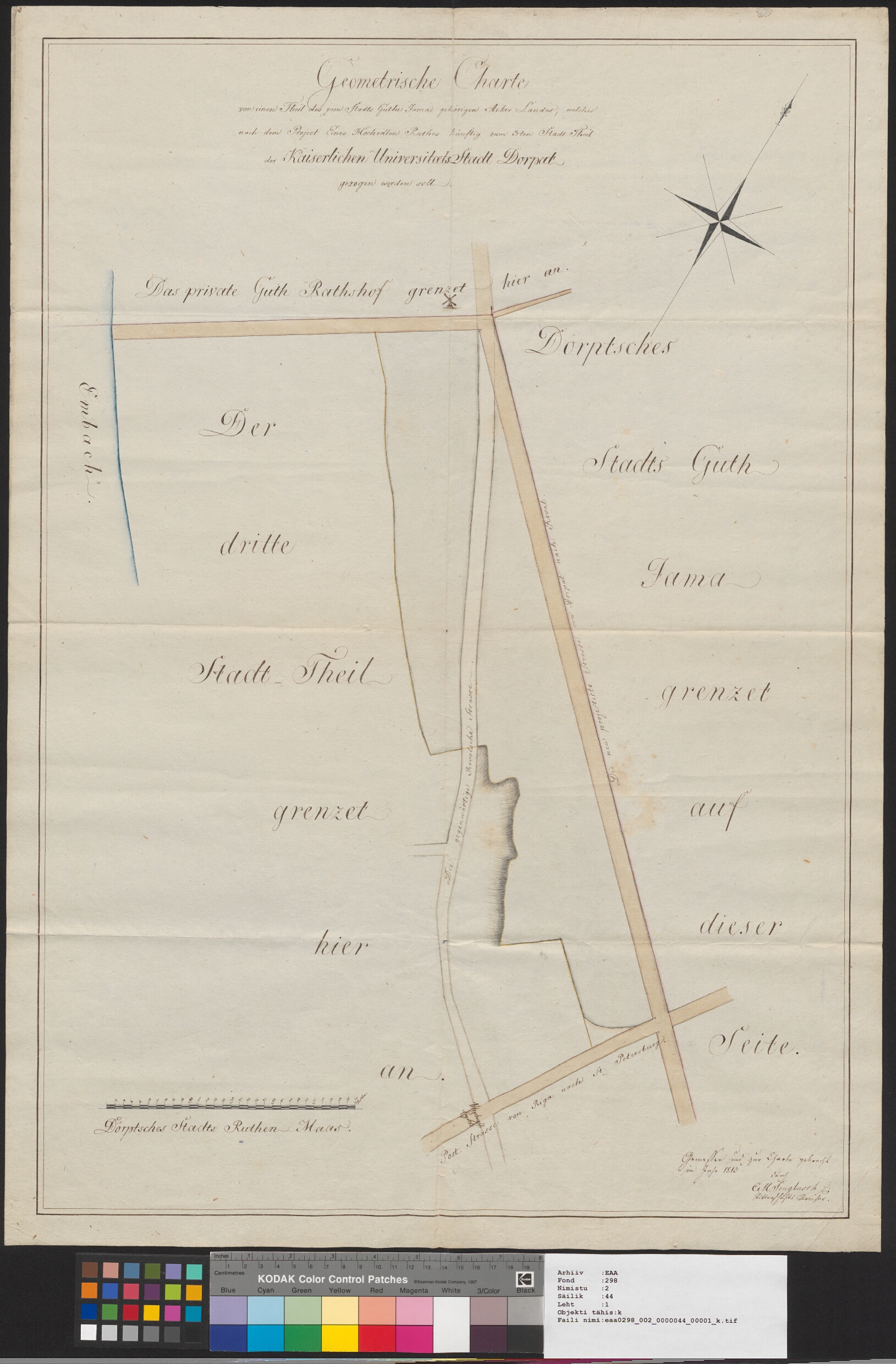
Geometrische Charte von einen Theil des zum Stadt Guthe Jama gehrigen Acker Landes welches nach dem Project Eines Hochedlen Rathes knftig zum tem Stadt Theil der Kaiserlischen UniversitaetsStadt Dorpat gezogen worden soll. en map from Estonian National Archives with Reference code EAA Sheet et Kaart Eesti Rahvusarhiivist Lhtekoodiga