
Related Images


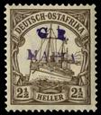

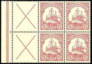
Download:
| Tiny | 117x128 | View | Download |
| Small | 235x256 | View | Download |
| Original png | 371x404 | View | Download |
| Original as jpg | 371x404 | View | Download |
This image was acquired from
wikimedia. It was marked as Public Domain or CC0 and is free to use. To verify, go to the source and check the information there.
Looking for more info about this image?
Try a Google Reverse Image Search for it.
Try a Google Reverse Image Search for it.
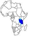
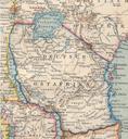
Keywords from Image Description:
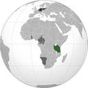
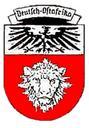
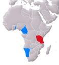
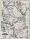
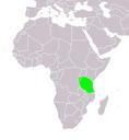
German East Africa. en SpLoT map showing the African borders at the time of the colony is here Image Karte DeutschOstafrika own assumed Electionworld Maps of the German East Africa