Related Images


Download:
| Tiny | 194x128 | View | Download |
| Small | 389x256 | View | Download |
| Medium | 779x512 | View | Download |
| Original | 795x522 | View | Download |
This image was acquired from
wikimedia. It was marked as Public Domain or CC0 and is free to use. To verify, go to the source and check the information there.
Looking for more info about this image?
Try a Google Reverse Image Search for it.
Try a Google Reverse Image Search for it.
Keywords from Image Description:
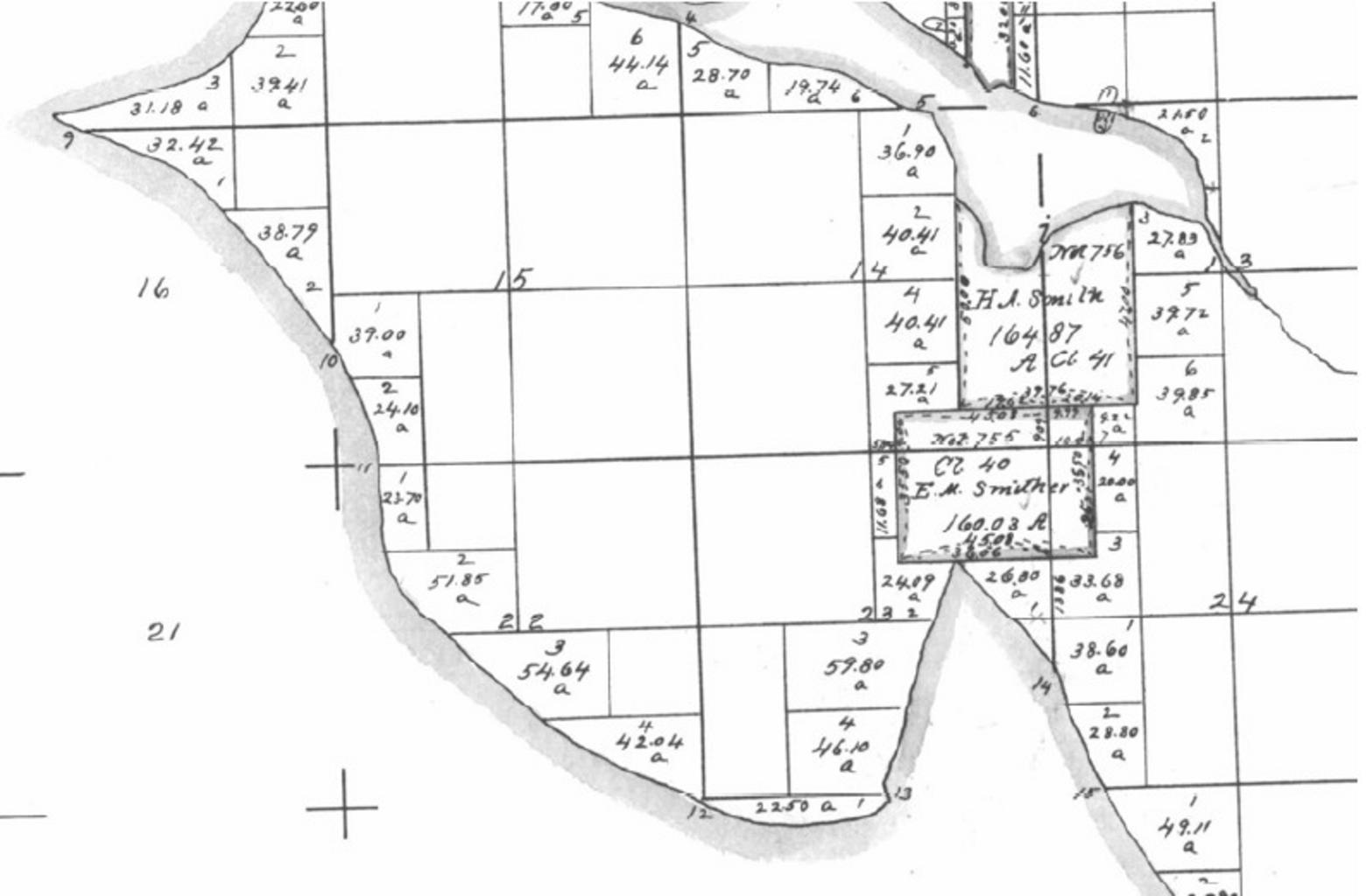
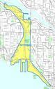
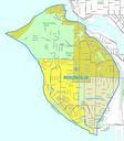
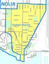
GLO map of Interbay and Magnolia claims . Part of United States Government Land Office map showing what is now Interbay and most of Magnolia in Seattle Washington Salmon Bay is to the north Smith Cove juts in from the south Note the claims by Smith and Smither Smith eventually came to own Smither's claim The map shows the natural