Related Images

Download:
| Tiny | 88x128 | View | Download |
| Small | 176x256 | View | Download |
| Medium | 353x512 | View | Download |
| Large | 707x1024 | View | Download |
| Original | 3443x4986 | View | Download |
This image was acquired from
wikimedia. It was marked as Public Domain or CC0 and is free to use. To verify, go to the source and check the information there.
Looking for more info about this image?
Try a Google Reverse Image Search for it.
Try a Google Reverse Image Search for it.
Keywords from Image Description:
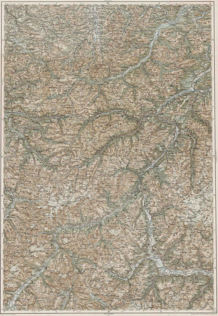
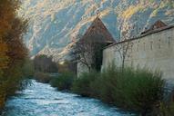
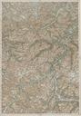
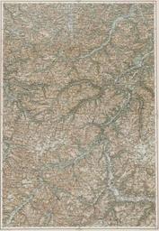
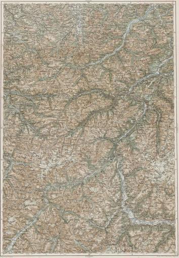
Glurns . LNGE rd Military Mapping Survey of AustriaHungary Glurns Glorenza elte hu htm Lszl ZENTAI Military mapping authority of AustriaHungary PDold rd Military Mapping Survey of AustriaHungary Old maps of Tyrol state Old maps of Vorarlberg Historical maps of the Inn watercourse system