Related Images


Download:
| Tiny | 67x128 | View | Download |
| Small | 134x256 | View | Download |
| Medium | 268x512 | View | Download |
| Original png | 448x855 | View | Download |
| Original as jpg | 448x855 | View | Download |
This image was acquired from
wikimedia. It was marked as Public Domain or CC0 and is free to use. To verify, go to the source and check the information there.
Looking for more info about this image?
Try a Google Reverse Image Search for it.
Try a Google Reverse Image Search for it.
Keywords from Image Description:
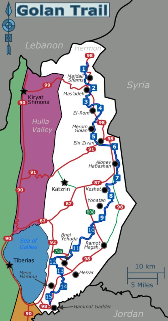
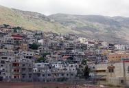
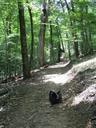
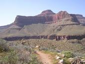
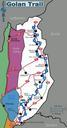
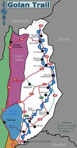
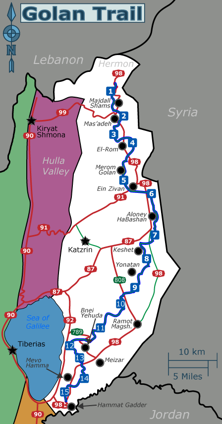
Golan Trail en. en Schematic map of the Golan Heights showing main roads several settlements and the Golan Trail marked with dotted green line with trailsection numbers own Tamuz SVG source File Golan Trail en he svg Image map you can use for clicking the numbered buttons no Image Golan Trail en thumb px The Golan Trail is marked