
Related Images


Download:
| Tiny | 81x128 | View | Download |
| Small | 163x256 | View | Download |
| Medium | 327x512 | View | Download |
| Large | 654x1024 | View | Download |
| Original | 4172x6526 | View | Download |
This image was acquired from
wikimedia. It was marked as Public Domain or CC0 and is free to use. To verify, go to the source and check the information there.
Looking for more info about this image?
Try a Google Reverse Image Search for it.
Try a Google Reverse Image Search for it.
Keywords from Image Description:
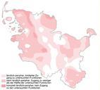
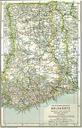
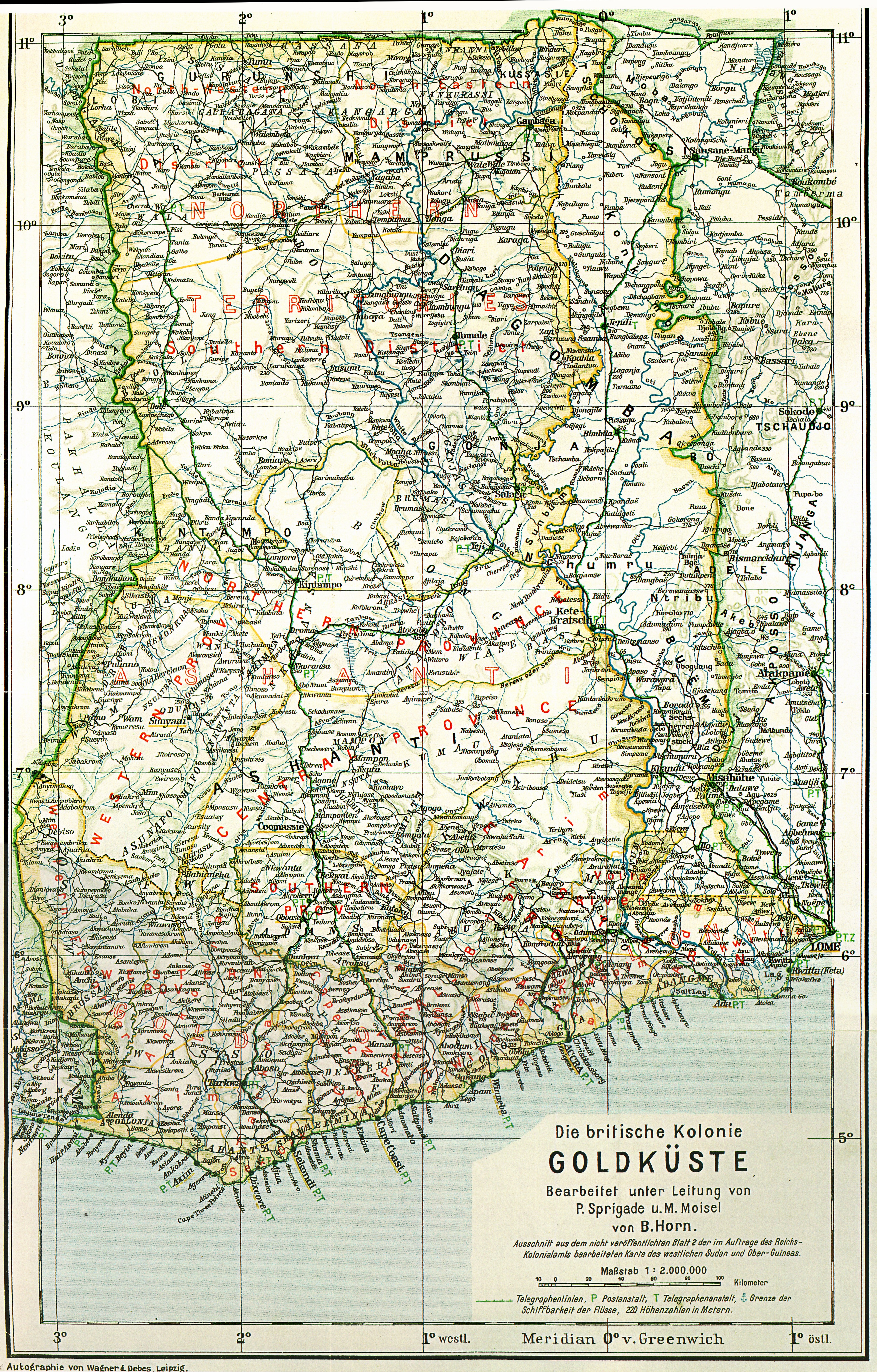
Goldkste gesamt. German map of the British Colony Gold Coast with the British occupied part of the territory of the German colony DeutschTogo map created from datas before the First World War completed and published Karte der britischen Kolonie Goldkste einschlielich des britisch besetzten Teils vom Territorium der Kolonie DeutschTogo