Related Images


Download:
| Tiny | 119x128 | View | Download |
| Small | 238x256 | View | Download |
| Medium | 476x512 | View | Download |
| Original | 800x860 | View | Download |
This image was acquired from
wikimedia. It was marked as Public Domain or CC0 and is free to use. To verify, go to the source and check the information there.
Looking for more info about this image?
Try a Google Reverse Image Search for it.
Try a Google Reverse Image Search for it.
Keywords from Image Description:
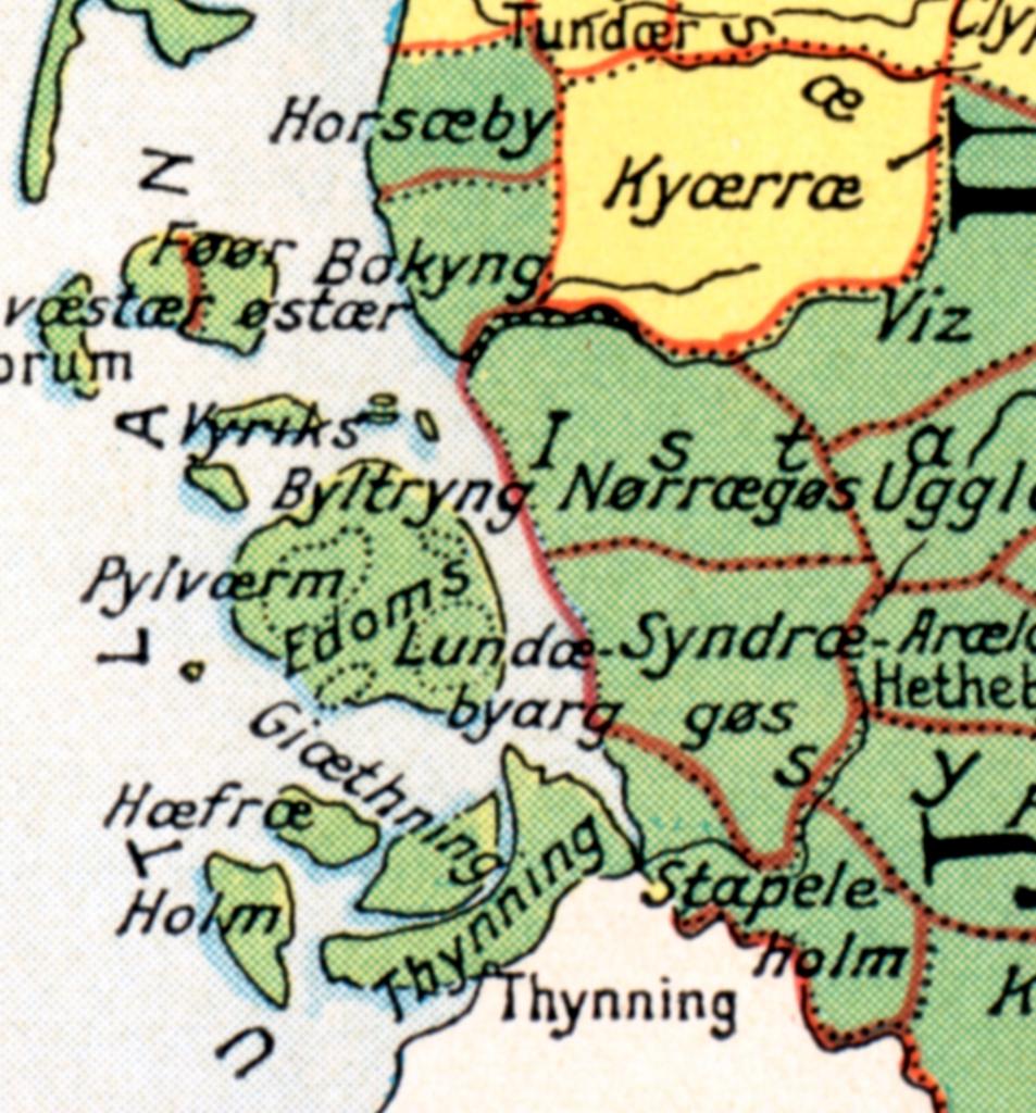
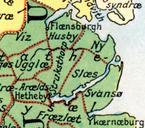
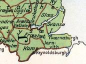
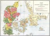
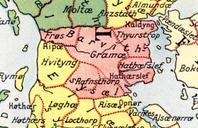
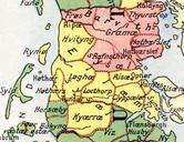
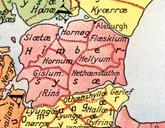
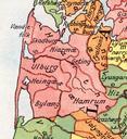
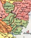
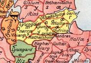
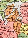
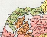
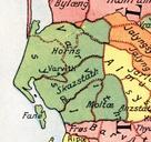
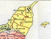
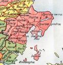
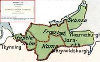
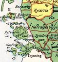
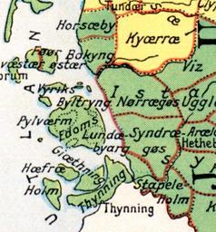
GsHerreder. da Gs Herreder Sydslesvig File Administrative division of denmark in medieval times MarianneES The map is made by professor Johannes Steenstrup died for use in Danmarks Riges Historie and is in public domain due to its age PDOLDBASE Old maps of Denmark Old maps of SchleswigHolstein Maps of Kreis Nordfriesland