
Related Images


Download:
| Tiny | 140x128 | View | Download |
| Small | 280x256 | View | Download |
| Original png | 310x283 | View | Download |
| Original as jpg | 310x283 | View | Download |
This image was acquired from
wikimedia. It was marked as Public Domain or CC0 and is free to use. To verify, go to the source and check the information there.
Looking for more info about this image?
Try a Google Reverse Image Search for it.
Try a Google Reverse Image Search for it.
Keywords from Image Description:
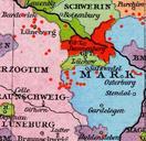
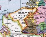
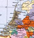
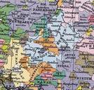
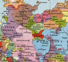
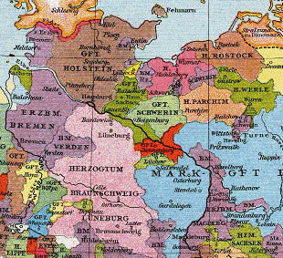
Grafschaft Dannenberg um . Grafschaft Dannenberg um Map of the County of Dannenberg and surrounding area circa Allgemeiner historischer Handatlas Gustav Droysen Image GrafschaftenHolsteinRatzeburgSchwerinDannenbergLuechow Image GrafschaftDannenberg pdold Landkreis LchowDannenberg Old maps of the Holy Roman Empire Location not