
Related Images


Download:
| Tiny | 105x128 | View | Download |
| Small | 211x256 | View | Download |
| Medium | 422x512 | View | Download |
| Large | 844x1024 | View | Download |
| Original png | 1376x1668 | View | Download |
| Original as jpg | 1376x1668 | View | Download |
This image was acquired from
wikimedia. It was marked as Public Domain or CC0 and is free to use. To verify, go to the source and check the information there.
Looking for more info about this image?
Try a Google Reverse Image Search for it.
Try a Google Reverse Image Search for it.
Keywords from Image Description:
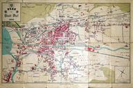
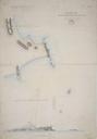
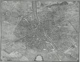
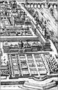
Grauerort Plan. en Grauerort fortress construction plan with vertical profile at the bottom River Elbe is at the top of the map own Morn the Gorn PDOld Festung Grauerort Drawings of buildings in Germany Taken with Canon EOS Maps of Stade