Related Images


This image was acquired from
wikimedia. It was marked as Public Domain or CC0 and is free to use. To verify, go to the source and check the information there.
Looking for more info about this image?
Try a Google Reverse Image Search for it.
Try a Google Reverse Image Search for it.
Keywords from Image Description:
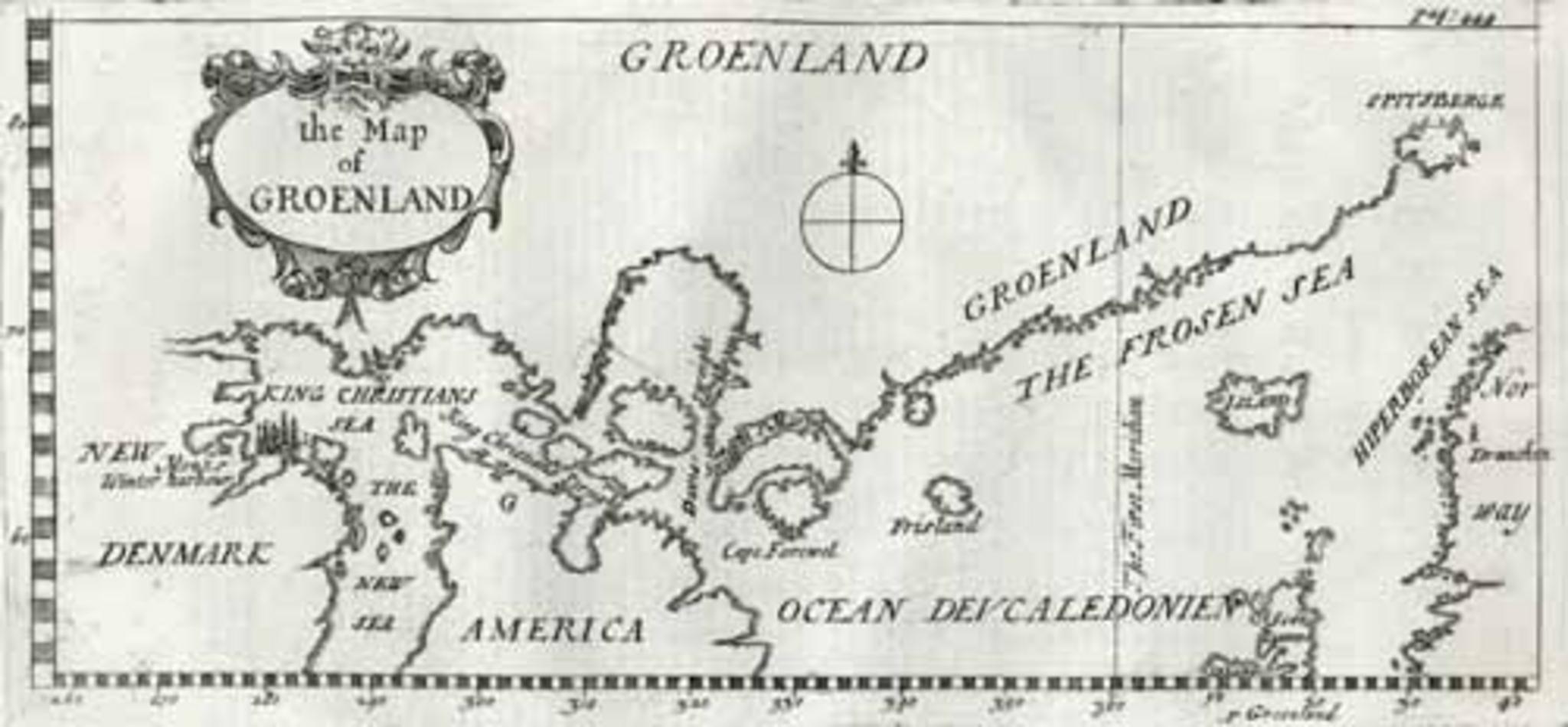
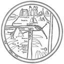
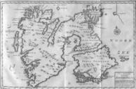
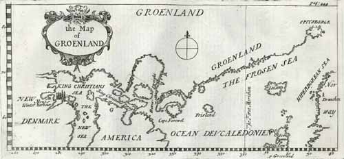
Greenland Map th century. Map showing Greenland as well as Iceland and parts of what is today Canada Illustration from Two Journals The first kept by seven sailers in the Isle of St Maurice in Greenland in the years The second kept by seven other sailers who in the years and wintered at Spitzbergen With an account of their adventures