Related Images


Download:
| Tiny | 187x128 | View | Download |
| Small | 375x256 | View | Download |
| Medium | 750x512 | View | Download |
| Large | 1500x1024 | View | Download |
| Original png | 2244x1531 | View | Download |
| Original as jpg | 2244x1531 | View | Download |
This image was acquired from
wikimedia. It was marked as Public Domain or CC0 and is free to use. To verify, go to the source and check the information there.
Looking for more info about this image?
Try a Google Reverse Image Search for it.
Try a Google Reverse Image Search for it.
Keywords from Image Description:
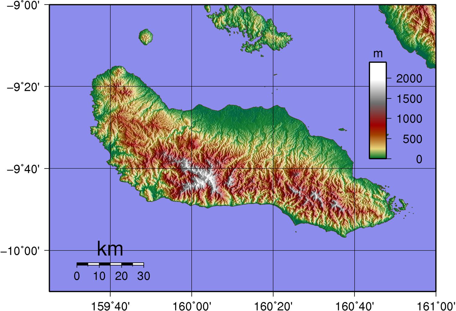
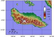
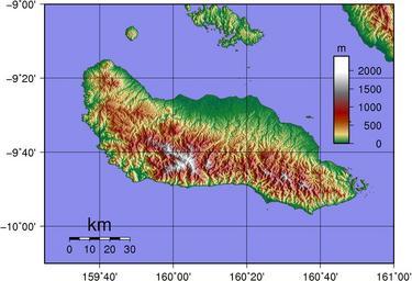
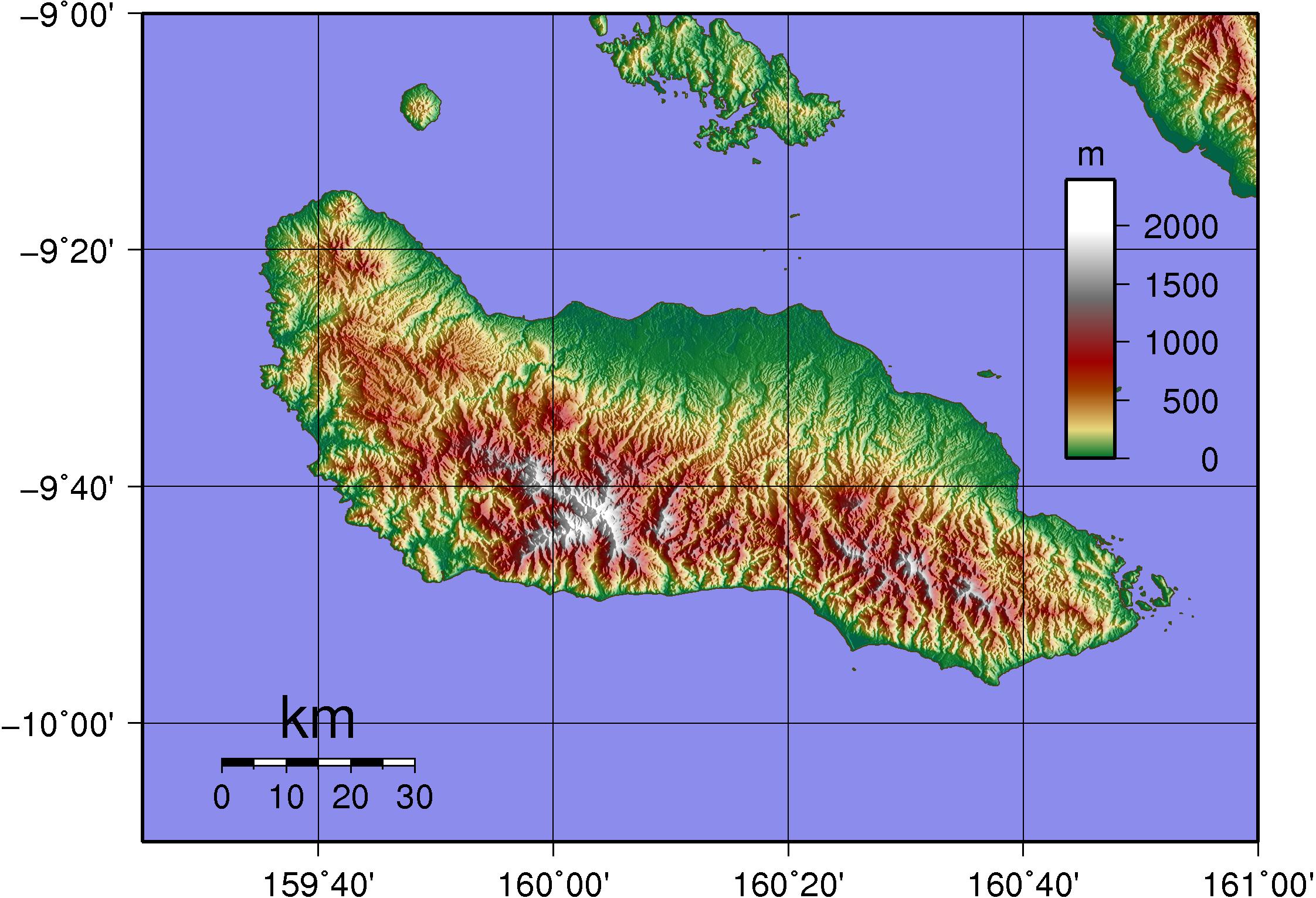
Guadalcanal Topography. Topographic Map of Guadalcanal Created with GMT from publicly released SRTM data Sadalmelik Maps of the Solomon Islands Topographic maps of the Solomon Islands Guadalcanal