
Related Images


Download:
| Tiny | 109x128 | View | Download |
| Small | 219x256 | View | Download |
| Medium | 439x512 | View | Download |
| Large | 879x1024 | View | Download |
| Original png | 2634x3066 | View | Download |
| Original as jpg | 2634x3066 | View | Download |
This image was acquired from
wikimedia. It was marked as Public Domain or CC0 and is free to use. To verify, go to the source and check the information there.
Looking for more info about this image?
Try a Google Reverse Image Search for it.
Try a Google Reverse Image Search for it.
Keywords from Image Description:
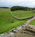
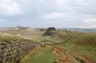
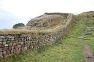
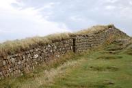
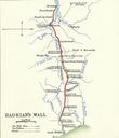
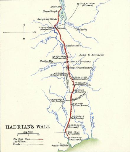
Hadrians Wall. en Hadrian's Wall diagram from Plate in Lane Poole's Historical Atlas of Modern Europe org LanePoole Historical Atlas of Modern Europe Reginald Lane Poole other versions File Ptolemys Map of the British Isles Top left corner of Plate File Roman Britain Right half of Plate PDold maps Reginald Lane Poole Historical