Download:
| Tiny | 130x128 | View | Download |
| Small | 261x256 | View | Download |
| Medium | 523x512 | View | Download |
| Large | 1046x1024 | View | Download |
| Original png | 1600x1566 | View | Download |
| Original as jpg | 1600x1566 | View | Download |
This image was acquired from
wikimedia. It was marked as Public Domain or CC0 and is free to use. To verify, go to the source and check the information there.
Looking for more info about this image?
Try a Google Reverse Image Search for it.
Try a Google Reverse Image Search for it.
Keywords from Image Description:
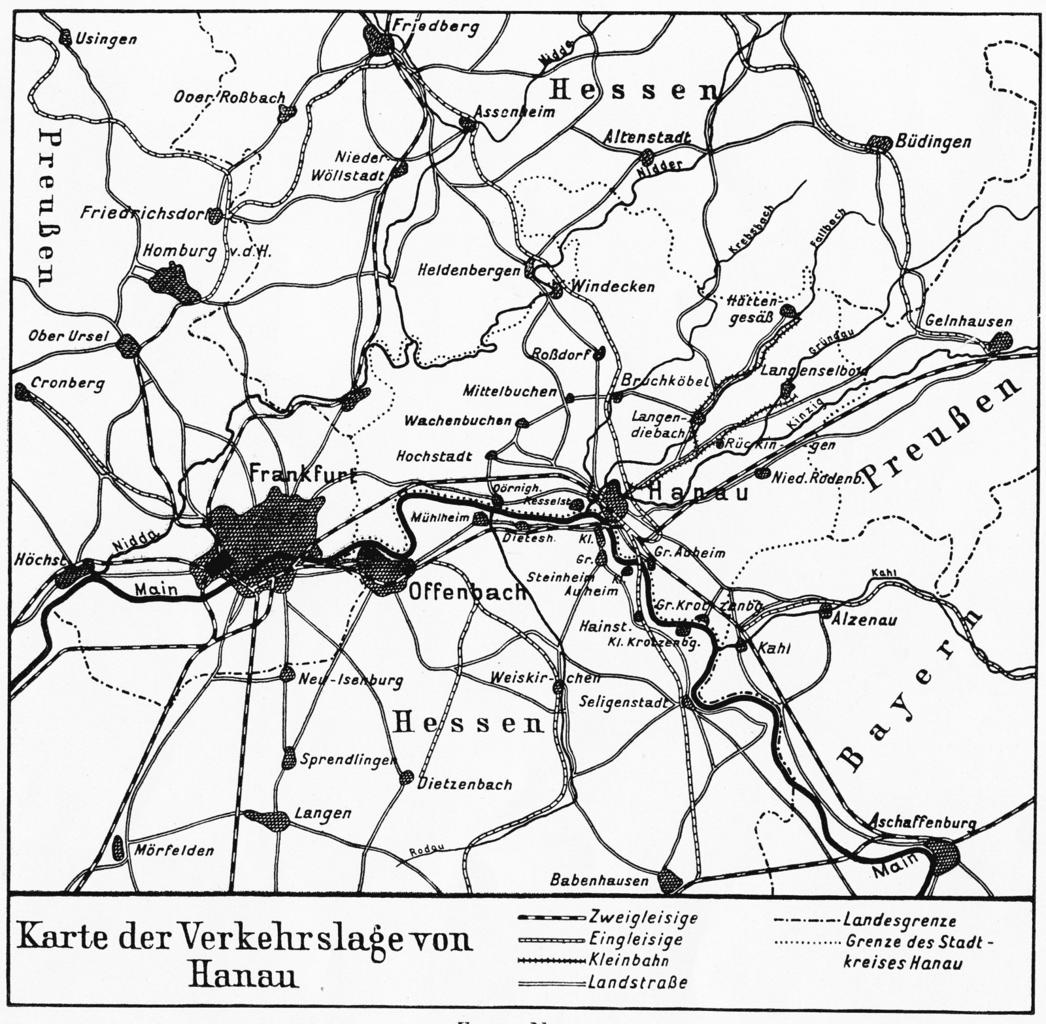
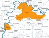
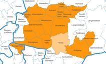
HanauKarteVerkehrsanbindung. Karte der regionalen Verkehrslage der Stadt Hanau im Jahre Bearbeitung einer Abbildung Karte Nr aus Wolf Gustav Die Stadt Hanau am Main geographisch betrachtet In Schrepfer Hans Hg RheinMainische Forschungen Heft Frankfurt Vermutl Gustav Wolf Hochgeladen und berarbeitet von David Liuzzo PDArt Maps
