
Related Images


Download:
| Tiny | 150x128 | View | Download |
| Small | 301x256 | View | Download |
| Medium | 603x512 | View | Download |
| Large | 1207x1024 | View | Download |
| Original png | 2500x2120 | View | Download |
| Original as jpg | 2500x2120 | View | Download |
This image was acquired from
wikimedia. It was marked as Public Domain or CC0 and is free to use. To verify, go to the source and check the information there.
Looking for more info about this image?
Try a Google Reverse Image Search for it.
Try a Google Reverse Image Search for it.
Keywords from Image Description:
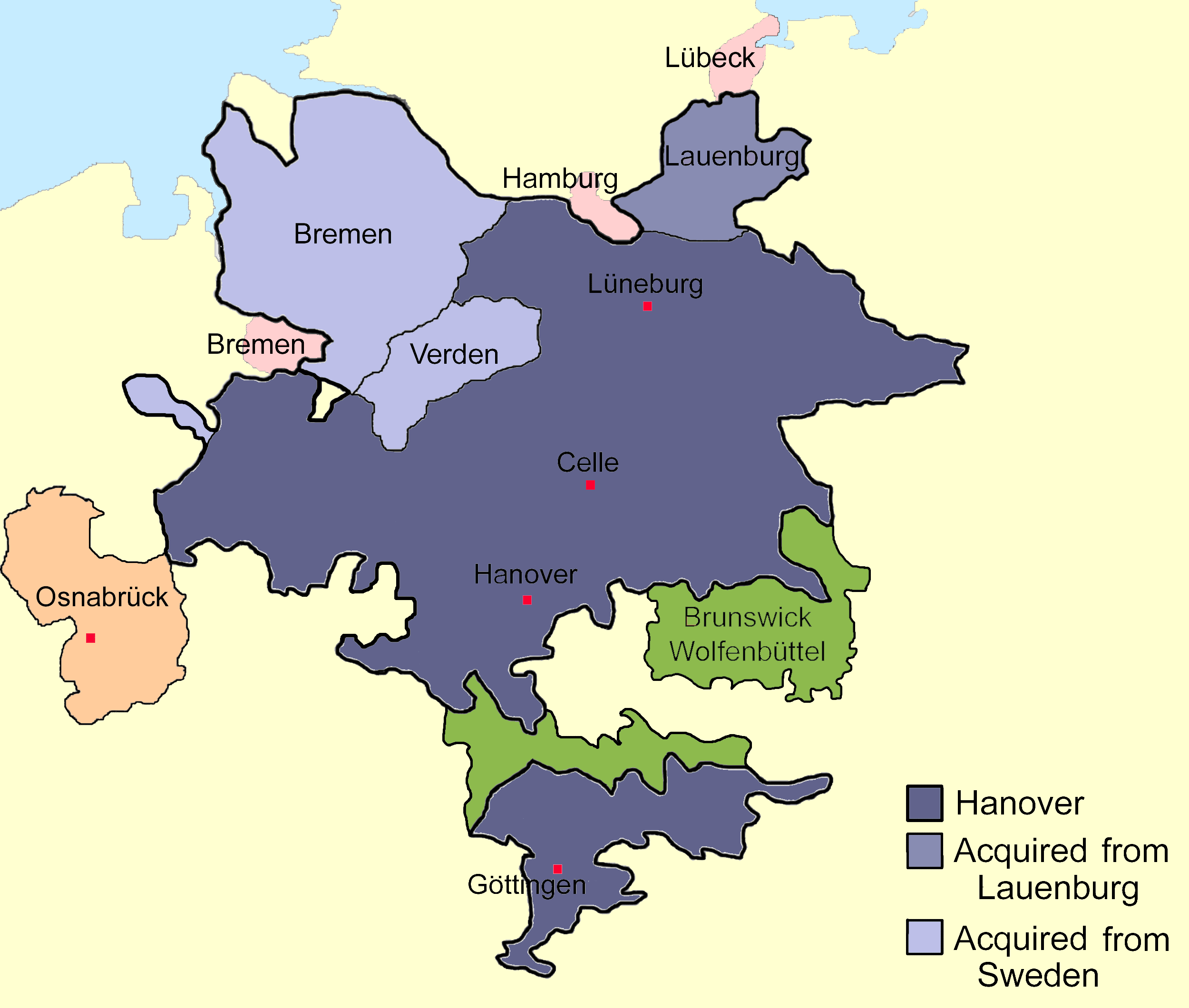
Hanover. Sketch map of the state of Hanover showing territorial acquisitions and some neighbouring states and imperial cities drawn in Adobe Photoshop by hand using pen tablet Own date DrKiernan File Hanovro in Esperanto File Hanoverpt svg svg file in Portuguese Maps of territories in the Lower Saxony Circle Hannover Maps of Hannover