
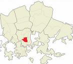
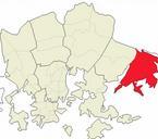
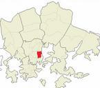
Related Images


Download:
| Tiny | 94x128 | View | Download |
| Small | 188x256 | View | Download |
| Medium | 377x512 | View | Download |
| Original png | 466x632 | View | Download |
| Original as jpg | 466x632 | View | Download |
This image was acquired from
wikimedia. It was marked as Public Domain or CC0 and is free to use. To verify, go to the source and check the information there.
Looking for more info about this image?
Try a Google Reverse Image Search for it.
Try a Google Reverse Image Search for it.
Keywords from Image Description:
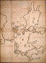
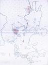
Helsinki Map . en very early map of Helsinki Finland from The map shows both old Helsinki at the mouth of the Vantaa River as well as new Helsinki fi Helsingin kartta vuodelta Helsingin kaupunginarkisto Hans Hansson likely en The copyrights have expired and this image is in the public domain fi Kartan tekijnoikeus vanhentunut