
Related Images


Download:
| Tiny | 128x128 | View | Download |
| Small | 256x256 | View | Download |
| Medium | 513x512 | View | Download |
| Large | 1026x1024 | View | Download |
| Original | 1596x1592 | View | Download |
This image was acquired from
wikimedia. It was marked as Public Domain or CC0 and is free to use. To verify, go to the source and check the information there.
Looking for more info about this image?
Try a Google Reverse Image Search for it.
Try a Google Reverse Image Search for it.
Keywords from Image Description:
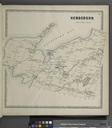
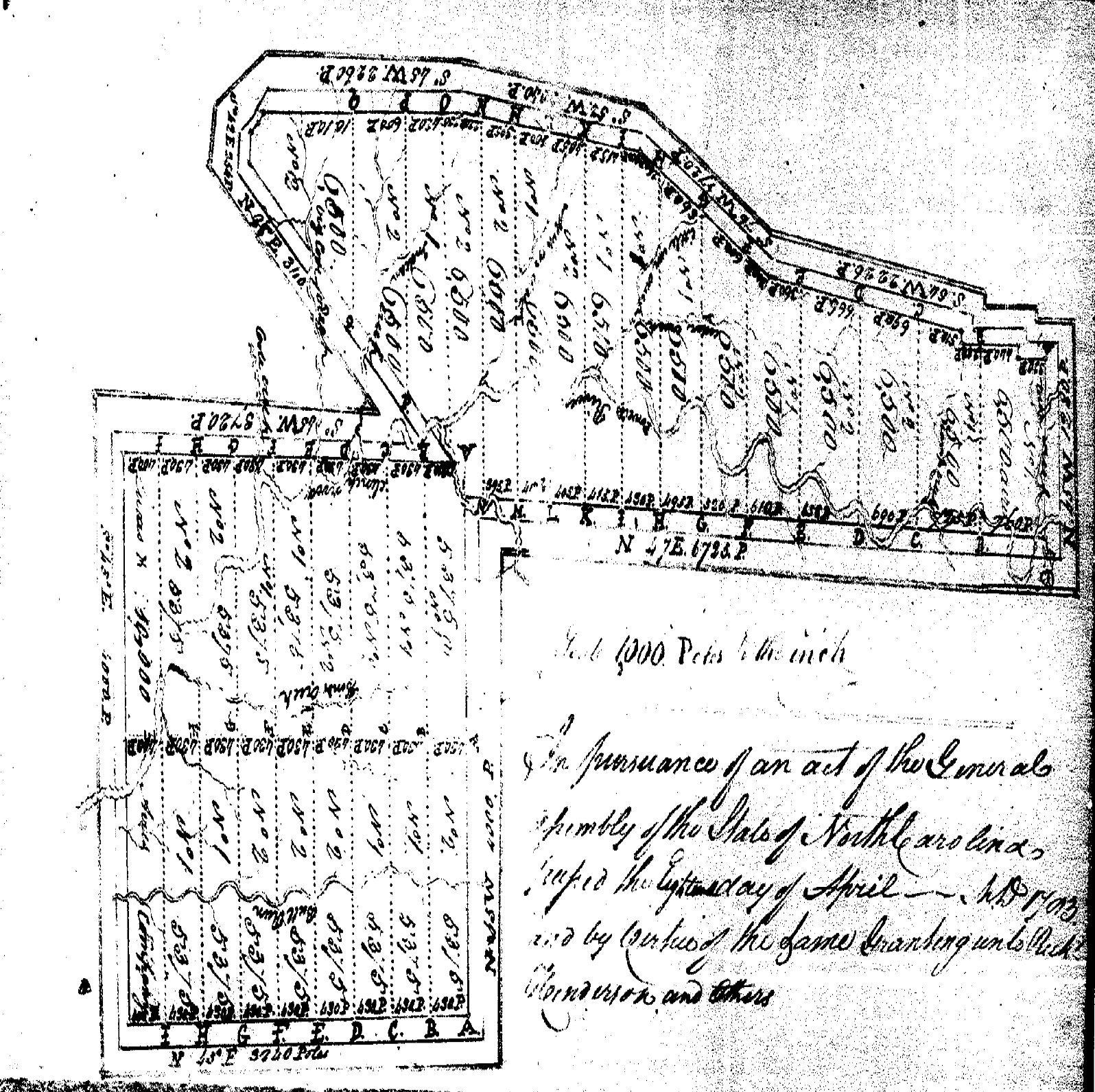
Henderson Powell Valley Grant. en The drawing is the map drawn by the surveyors of the property granted to the Henderson Co The property lies along the Powell River between the Cumberland Mountain and the Powell Mountain The westerly line is the line of the Great Grant that extends to form the Path Grant and the boundary on the south