
Related Images


Download:
| Tiny | 128x128 | View | Download |
| Small | 257x256 | View | Download |
| Medium | 514x512 | View | Download |
| Original png | 980x976 | View | Download |
| Original as jpg | 980x976 | View | Download |
This image was acquired from
wikimedia. It was marked as Public Domain or CC0 and is free to use. To verify, go to the source and check the information there.
Looking for more info about this image?
Try a Google Reverse Image Search for it.
Try a Google Reverse Image Search for it.
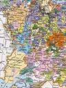
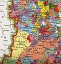
Keywords from Image Description:
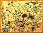
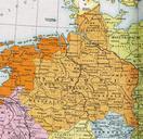
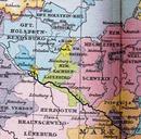
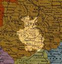
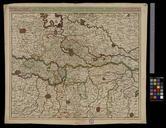
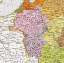
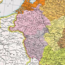
Herzogtum Lothringen . Herzogtum Lothringen um Lotharingia divided around the pink is Lower Lorraine the purple is Upper Lorraine The orange is Frisia which was effectively detached from Lotharingia Allgemeiner historischer Handatlas Gustav Droysen pdold Duchy of Lorraine Old maps of Lorraine Old maps of Belgium Old maps of RhinelandPalatinate