Download:
| Tiny | 140x128 | View | Download |
| Small | 281x256 | View | Download |
| Medium | 563x512 | View | Download |
| Original | 935x850 | View | Download |
This image was acquired from
wikimedia. It was marked as Public Domain or CC0 and is free to use. To verify, go to the source and check the information there.
Looking for more info about this image?
Try a Google Reverse Image Search for it.
Try a Google Reverse Image Search for it.
Keywords from Image Description:
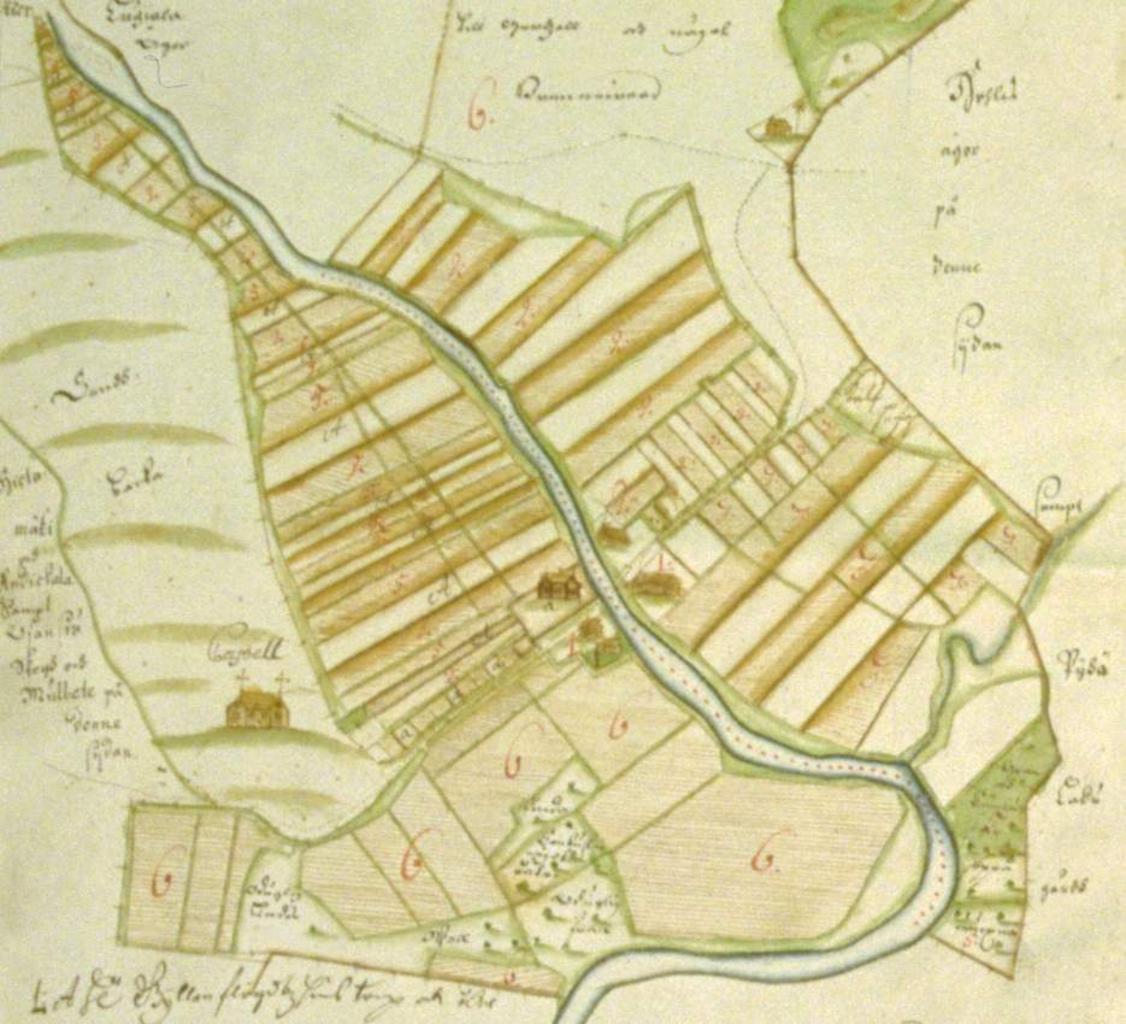
Hietamki isojakokartta crop. en cadastral map year of Hietamki village Mietoinen Finland Image from Heikki Rantatupa Historialliset kartat map collection fi Rajattu versio Hietamen kyln tiluskartasta vuodelta jossa nkyy Hietamen kappeli Kuva Heikki Rantatupa Historialliset kartat kokoelmasta vanhakartta fi mapview handle hdl
