Related Images


Download:
| Tiny | 79x128 | View | Download |
| Small | 159x256 | View | Download |
| Medium | 318x512 | View | Download |
| Large | 636x1024 | View | Download |
| Original | 1557x2504 | View | Download |
This image was acquired from
wikimedia. It was marked as Public Domain or CC0 and is free to use. To verify, go to the source and check the information there.
Looking for more info about this image?
Try a Google Reverse Image Search for it.
Try a Google Reverse Image Search for it.
Keywords from Image Description:
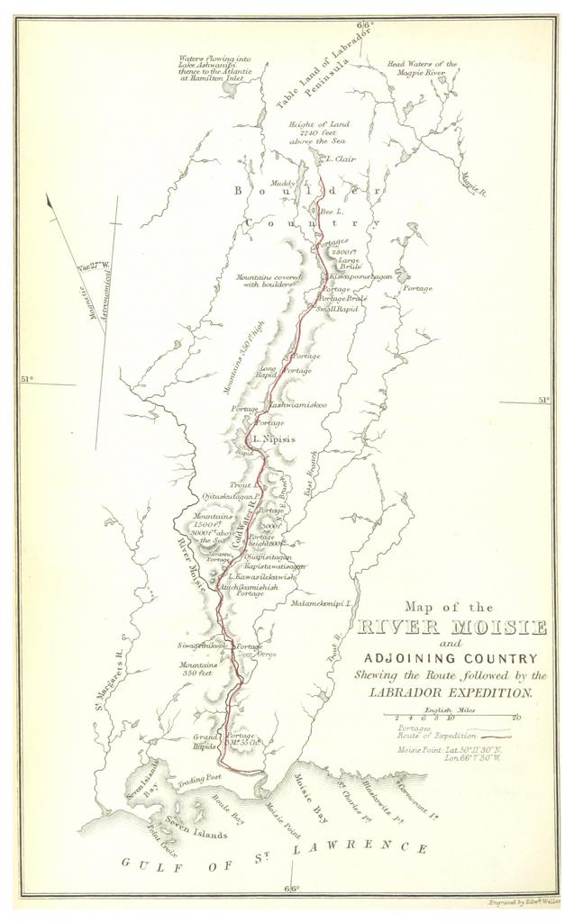
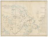
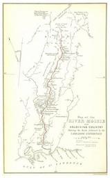
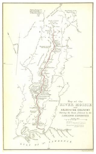
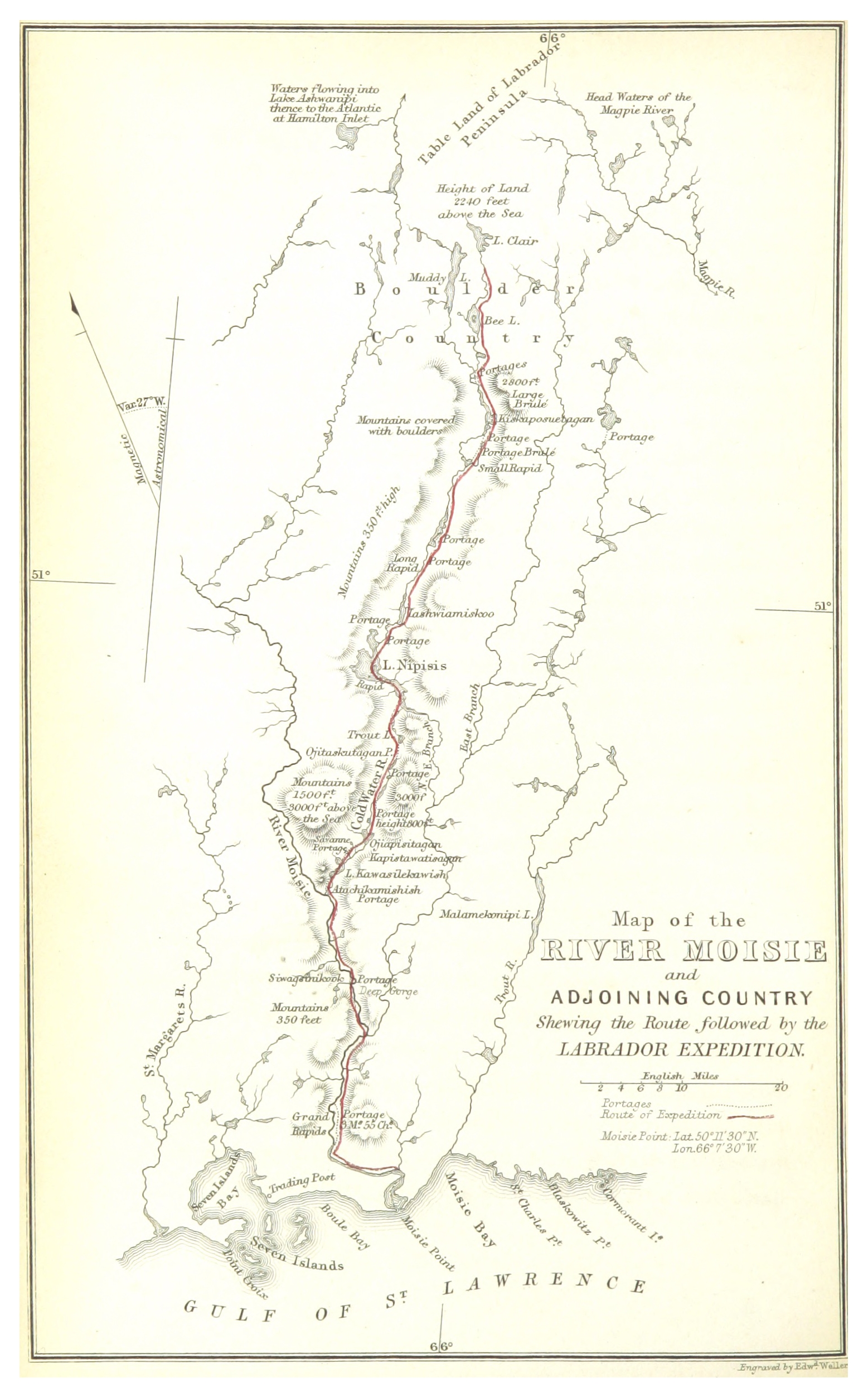
HIND LABRADOREXP. MAP OF THE RIVER MOISIE AND ADJOINING COUNTRY. object history credit line accession number British Library HMNTS pp Image extracted from page of Explorations in the interior of the Labrador Peninsula the country of the Montagnais and Nasquappe Indians by HIND Henry Youle Original held and digitised by the British