Related Images


Download:
| Tiny | 98x128 | View | Download |
| Small | 197x256 | View | Download |
| Medium | 395x512 | View | Download |
| Large | 790x1024 | View | Download |
| Original | 1800x2331 | View | Download |
This image was acquired from
wikimedia. It was marked as Public Domain or CC0 and is free to use. To verify, go to the source and check the information there.
Looking for more info about this image?
Try a Google Reverse Image Search for it.
Try a Google Reverse Image Search for it.
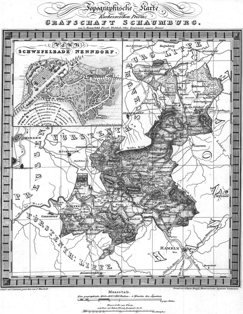
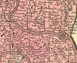
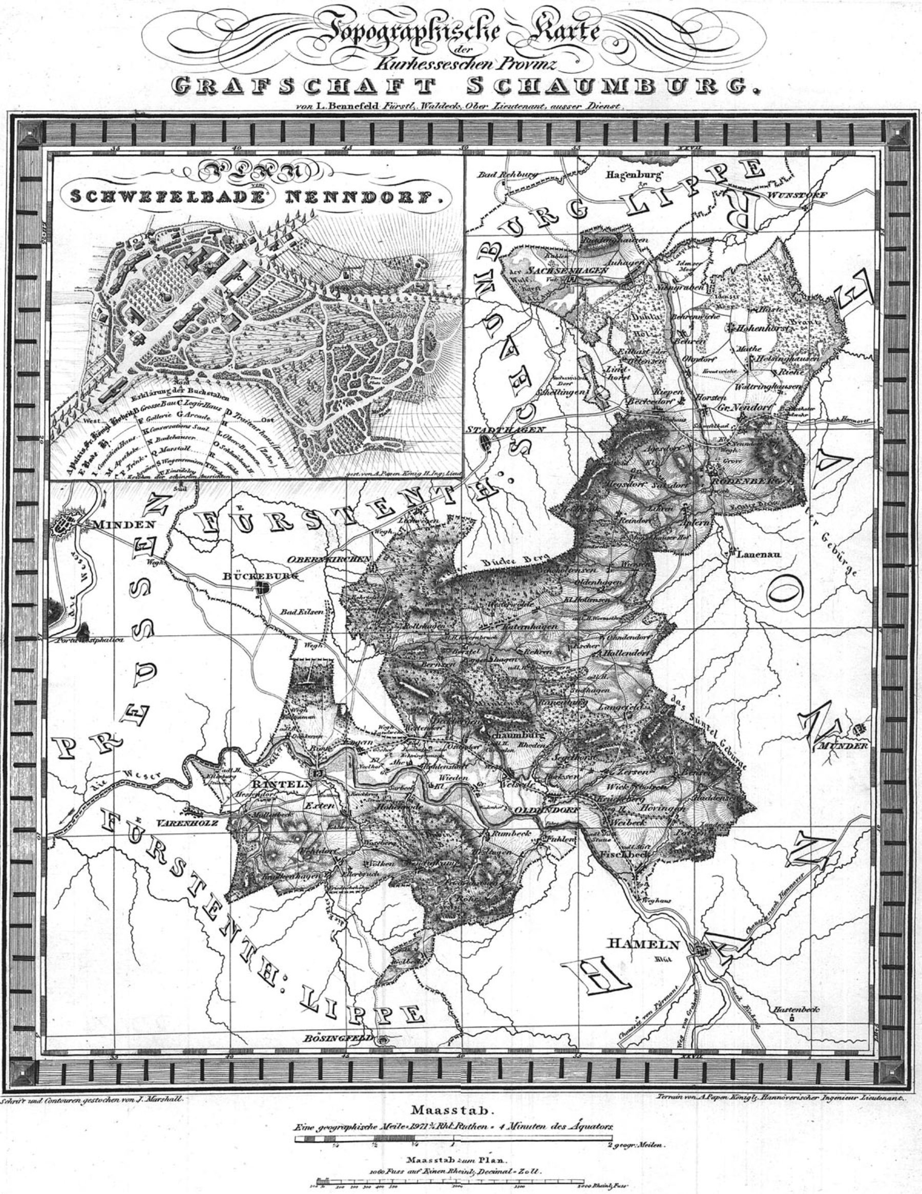
Keywords from Image Description:
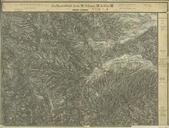
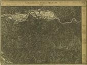
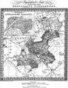
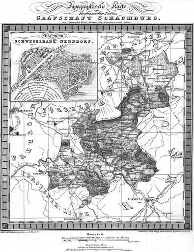
Historische Landkarte der Grafschaft Schaumburg hessischen Anteils . de Landkarte der Grafschaft Schaumburg hessischen Anteils mit Plan vom Schwefelbade Nenndorf um histagschaumburg de PHPSESSID dfccfabbfbdcccb histagschaumburg de Bennefeld Plan vom Schwefelbade Nenndorf PDArt Maps of the history of Lower Saxony Landkreis Schaumburg