Related Images


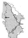
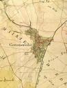
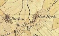
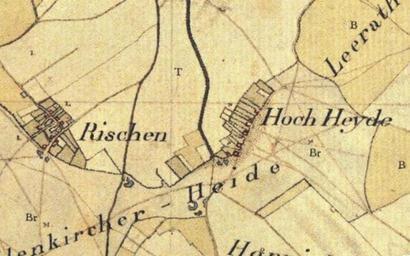
This image was acquired from
wikimedia. It was marked as Public Domain or CC0 and is free to use. To verify, go to the source and check the information there.
Looking for more info about this image?
Try a Google Reverse Image Search for it.
Try a Google Reverse Image Search for it.
Keywords from Image Description:
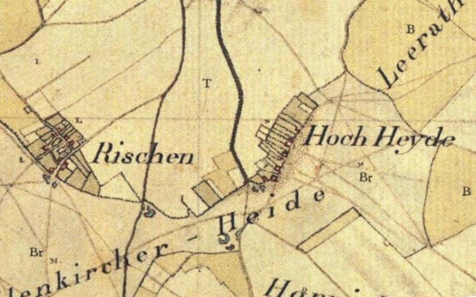
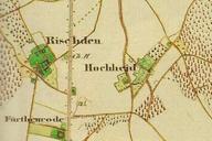
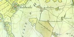
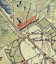
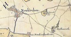
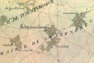
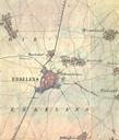
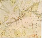
Hochheid Tranchot. Kartenaufnahme der Rheinlande TIMOnline Topographisches Informationsmanagement NRW Tranchot und von Mffling PDold Hochheid Old maps of Kreis Heinsberg Tranchot Maps Snippets Maps of Geilenkirchen