Related Images


Download:
| Tiny | 105x128 | View | Download |
| Small | 211x256 | View | Download |
| Medium | 423x512 | View | Download |
| Original png | 727x879 | View | Download |
| Original as jpg | 727x879 | View | Download |
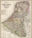
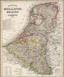
This image was acquired from
wikimedia. It was marked as Public Domain or CC0 and is free to use. To verify, go to the source and check the information there.
Looking for more info about this image?
Try a Google Reverse Image Search for it.
Try a Google Reverse Image Search for it.
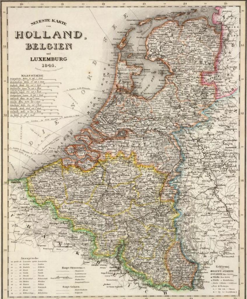
Keywords from Image Description:
HollandBelgienLux. de Meyers Handatlas Belgien Holland und Luxemburg davidrumsey NeuesteKartevonHolland Belgien drawn by Hauptmann Colonel Radefeld upload by User ULamm upload File Belgien cut PDArt maps Old maps of Belgium Old maps of the Netherlands David Rumsey Historical Map Collection