
Related Images

Download:
| Tiny | 99x128 | View | Download |
| Small | 199x256 | View | Download |
| Medium | 399x512 | View | Download |
| Large | 798x1024 | View | Download |
| Original | 1356x1740 | View | Download |
This image was acquired from
wikimedia. It was marked as Public Domain or CC0 and is free to use. To verify, go to the source and check the information there.
Looking for more info about this image?
Try a Google Reverse Image Search for it.
Try a Google Reverse Image Search for it.
Keywords from Image Description:
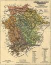
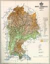
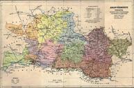
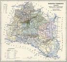
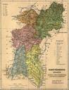
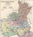
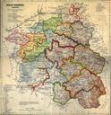
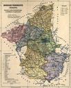
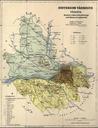
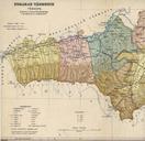
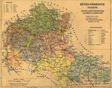
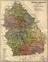
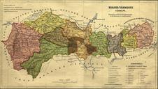
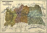
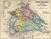
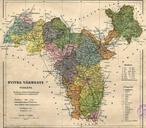
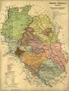
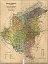
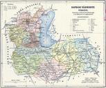
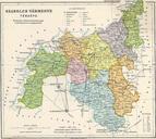
Hont county administrative map. Administrative map of the county of Hont in the Kingdom of Hungary from Borders of Vmosmikola district organized in were added in the last minute with limited accuracy Hont vrmegye kzigazgatsi trkpe bl Az ben szervezett Vmosmikolai jrs hatra utlag nem teljesen pontosan kerlt brzolsra elte hu htm