Related Images


Download:
| Tiny | 77x128 | View | Download |
| Small | 154x256 | View | Download |
| Medium | 309x512 | View | Download |
| Large | 618x1024 | View | Download |
| Original | 1208x2000 | View | Download |
This image was acquired from
wikimedia. It was marked as Public Domain or CC0 and is free to use. To verify, go to the source and check the information there.
Looking for more info about this image?
Try a Google Reverse Image Search for it.
Try a Google Reverse Image Search for it.
Keywords from Image Description:
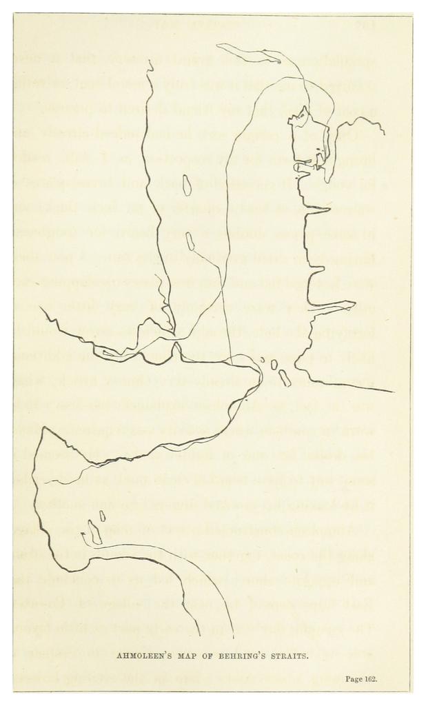
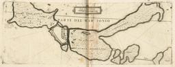
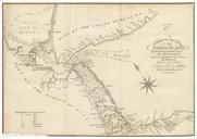
HOOPER MAP OF BEHRING'S STRAITS. object history credit line accession number British Library HMNTS Image extracted from page of Ten months among the tents of the Tuski with incidents of an Arctic Boat Expedition in search of Sir John Franklin as far as the Mackenzie River and Cape Bathurst With map and illustrations by HOOPER