
Related Images


Download:
| Tiny | 136x128 | View | Download |
| Small | 272x256 | View | Download |
| Medium | 545x512 | View | Download |
| Original | 1002x940 | View | Download |
This image was acquired from
wikimedia. It was marked as Public Domain or CC0 and is free to use. To verify, go to the source and check the information there.
Looking for more info about this image?
Try a Google Reverse Image Search for it.
Try a Google Reverse Image Search for it.
Keywords from Image Description:
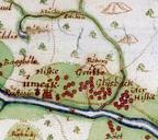
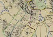
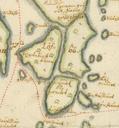
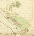
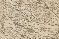
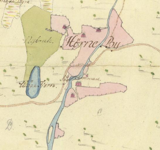
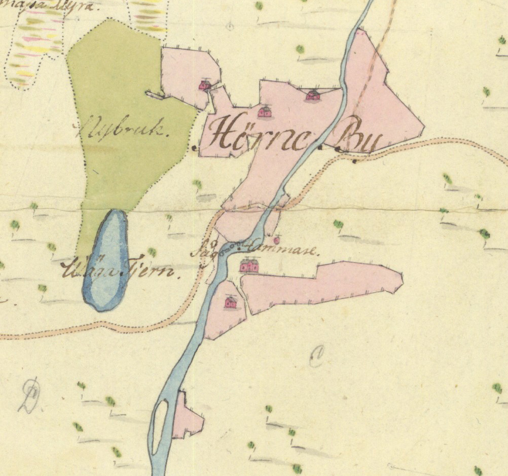
Hornekarta. sv Utsnitt ur Charta fwer Hrne och Bcks byars samflta skog afmtt och till afvittring beredd uti junii mnad en Part of map of the forests of the adjacent villages Hrne and Bck in southern Vsterbotten Sweden drawn in Lantmteriet Anders Magnus Strinnholm Custom marker PDold Uploaded with Old maps of Vsterbotten