
Related Images


Download:
| Tiny | 170x128 | View | Download |
| Small | 340x256 | View | Download |
| Medium | 680x512 | View | Download |
| Original | 904x680 | View | Download |
This image was acquired from
flickr. It was marked as Public Domain or CC0 and is free to use. To verify, go to the source and check the information there.
Looking for more info about this image?
Try a Google Reverse Image Search for it.
Try a Google Reverse Image Search for it.
Keywords from Image Description:
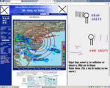
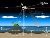
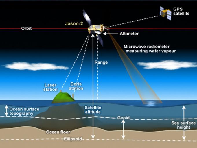
jason satellites jasonsatellites satellite altimetry satellitealtimetry ocean surface topography oceansurfacetopography bathymetry jason jason Satellite radar altimeters measure the ocean surface height sea level by measuring the time it takes radar pulse to make roundtrip from the satellite to the sea surface and back. This diagram