
Related Images


Download:
| Tiny | 172x128 | View | Download |
| Small | 344x256 | View | Download |
| Medium | 688x512 | View | Download |
| Original tiff | 950x706 | View | Download |
| Original as jpg | 950x706 | View | Download |
This image was acquired from
wikimedia. It was marked as Public Domain or CC0 and is free to use. To verify, go to the source and check the information there.
Looking for more info about this image?
Try a Google Reverse Image Search for it.
Try a Google Reverse Image Search for it.
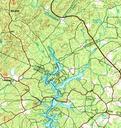
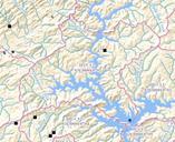
Keywords from Image Description:
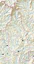
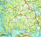
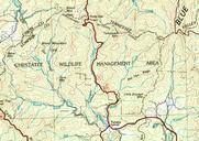
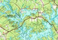
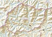
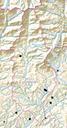
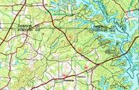
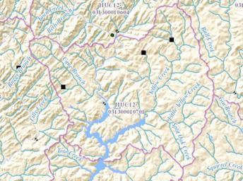
HUC Yellow CreekChestatee River. en Map shows Yellow Creek flowing from northeast joining the Chestatee River arm of Lake Lanier in the southern part of the map nationalmap gov html nhd base USGS other versions PDUSGov Uploaded with Geography of the United States Hydrology in the United States Basins of the United States Maps