
Related Images


Download:
| Tiny | 161x128 | View | Download |
| Small | 323x256 | View | Download |
| Medium | 646x512 | View | Download |
| Large | 1293x1024 | View | Download |
| Original png | 2599x2057 | View | Download |
| Original as jpg | 2599x2057 | View | Download |
This image was acquired from
wikimedia. It was marked as Public Domain or CC0 and is free to use. To verify, go to the source and check the information there.
Looking for more info about this image?
Try a Google Reverse Image Search for it.
Try a Google Reverse Image Search for it.
Keywords from Image Description:
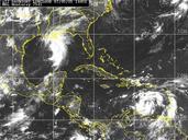
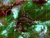
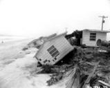
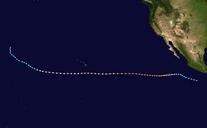
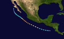
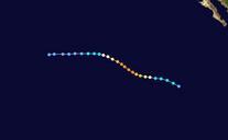
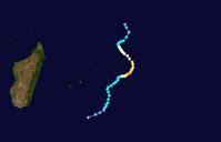
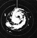
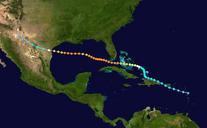
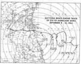
Hurricane Dora Florida track. en Enlarged track of Hurricane Dora as it approached the northeastern coast of Florida The center was determined by the Weather Bureau radar in Daytona Beach and detailed three distinct cyclonic loops before the storm moved ashore lib noaa gov pdf United States Weather Bureau PDUSGov Check categories