Related Images


Download:
| Tiny | 141x128 | View | Download |
| Small | 282x256 | View | Download |
| Medium | 565x512 | View | Download |
| Large | 1131x1024 | View | Download |
| Original | 7019x6354 | View | Download |
This image was acquired from
wikimedia. It was marked as Public Domain or CC0 and is free to use. To verify, go to the source and check the information there.
Looking for more info about this image?
Try a Google Reverse Image Search for it.
Try a Google Reverse Image Search for it.
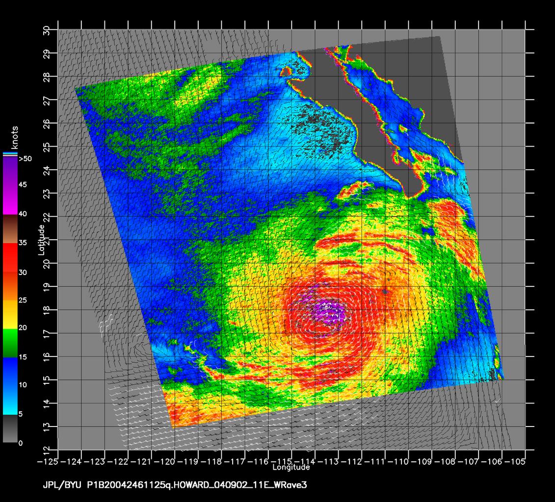
Keywords from Image Description:
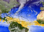
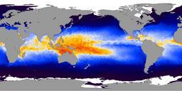
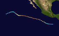
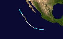
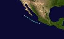
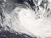
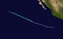
Hurricane Howard Natural Hazards DVIDS. en The SeaWinds scatterometer aboard NASA's QuikSCAT satellite collected the data used to create this multicolored image of hurricane Howard off the Southern Coast of Cabo San Lucas Mexico This image taken on September nd at pm PDT shows nearsurface winds meters above the ocean surface The