Related Images


Download:
| Tiny | 97x128 | View | Download |
| Small | 194x256 | View | Download |
| Medium | 388x512 | View | Download |
| Large | 777x1024 | View | Download |
| Original | 1603x2112 | View | Download |
This image was acquired from
wikimedia. It was marked as Public Domain or CC0 and is free to use. To verify, go to the source and check the information there.
Looking for more info about this image?
Try a Google Reverse Image Search for it.
Try a Google Reverse Image Search for it.
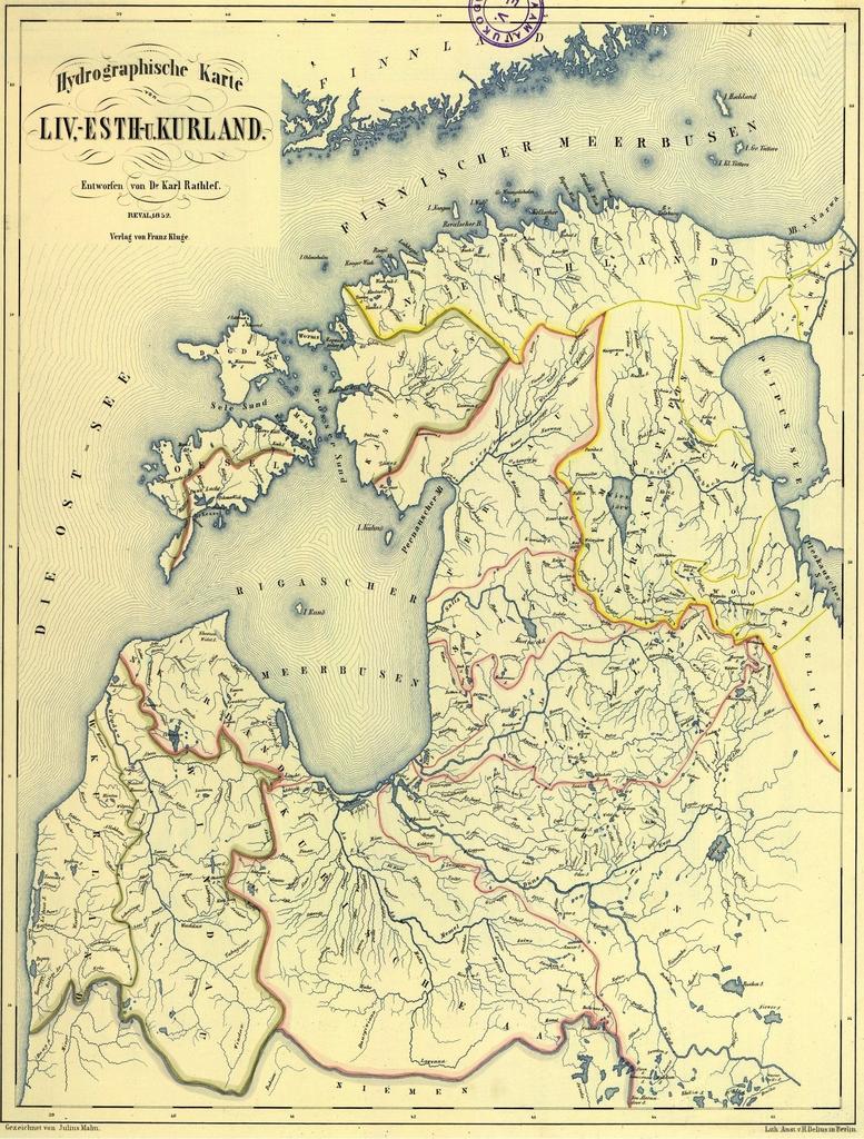
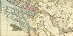
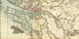
Keywords from Image Description:
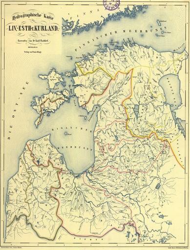
Hydrographische Karte Rathlef. Hydrographische Karte von Liv Esth Kurland Eesti Liivi ja Kuramaa hdrograafiline kaart Latvijas un Igaunijas hidrogrfisk karte ar upju vsturiskajiem nosaukumiem vcu valod Iezmti lielko upju baseini nlib ee National Library of Estonia Carl Rathlef Julius Malm cartographer PDold Drainage basin maps