
Related Images


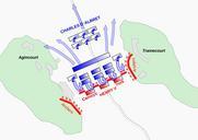


Download:
| Tiny | 217x128 | View | Download |
| Small | 435x256 | View | Download |
| Original svg | 509x299 | View | Download |
| Original as jpg | 509x299 | View | Download |
This image was acquired from
wikimedia. It was marked as Public Domain or CC0 and is free to use. To verify, go to the source and check the information there.
Looking for more info about this image?
Try a Google Reverse Image Search for it.
Try a Google Reverse Image Search for it.
Keywords from Image Description:
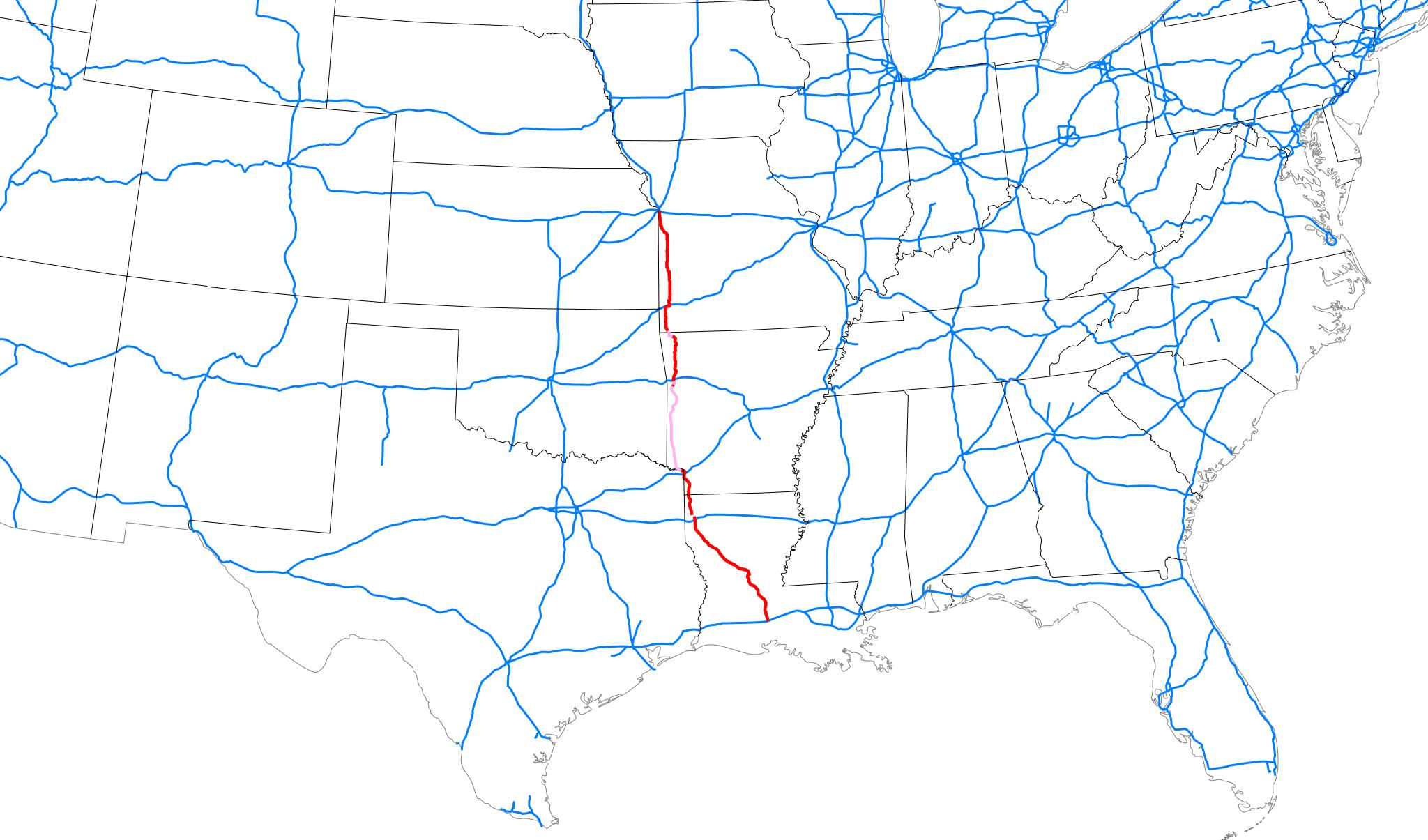
I map .svg Map of Interstate as of highlighted in red overall location within southeastern United States Map based on File Map of current Interstates svg Public domain modified to include recent Interstate additions route of georeferenced from KML file in article inkscape User Mr Matt template Interstate Road maps of Interstate