Related Images


This image was acquired from
wikimedia. It was marked as Public Domain or CC0 and is free to use. To verify, go to the source and check the information there.
Looking for more info about this image?
Try a Google Reverse Image Search for it.
Try a Google Reverse Image Search for it.
Keywords from Image Description:
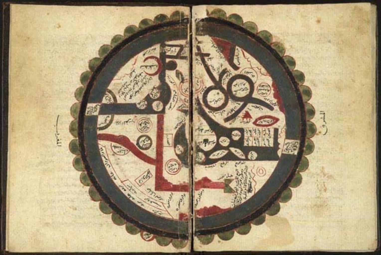
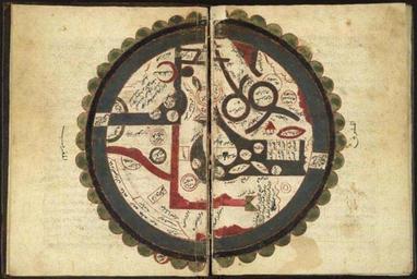
Ibn al Wardi's atlas. Ibn alWardi's atlas of the world At the center of the map are Mecca and Medina the two holiest cities of Islam The north part of the map shows China and India and the south part shows Christian sects and the states of Byzantium The outer circles represent the seas The manuscript is cosmology and aims to