Related Images


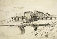
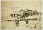
This image was acquired from
wikimedia. It was marked as Public Domain or CC0 and is free to use. To verify, go to the source and check the information there.
Looking for more info about this image?
Try a Google Reverse Image Search for it.
Try a Google Reverse Image Search for it.
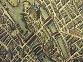
Keywords from Image Description:
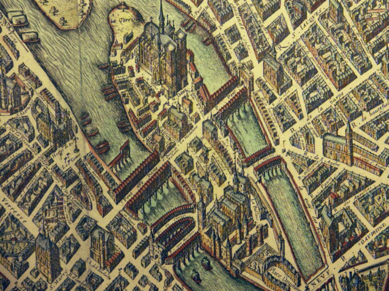
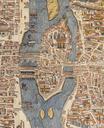
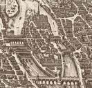
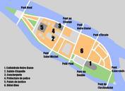
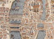
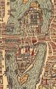
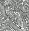
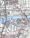
Ile de la cite . Die Ile de la Cit in Paris aus einer Ansicht des Jahres Plan de Vassalieu PDArt Old submaps of Paris Paris in the Pont NotreDame Historical images of Pont au Change Pont aux Meuniers Historical images of PetitPont Historical images of the Pont SaintMichel Maps of le de la Cit NotreDame de Paris on the maps