Related Images


Download:
| Tiny | 170x128 | View | Download |
| Small | 341x256 | View | Download |
| Medium | 682x512 | View | Download |
| Large | 1365x1024 | View | Download |
| Original | 2592x1944 | View | Download |
This image was acquired from
wikimedia. It was marked as Public Domain or CC0 and is free to use. To verify, go to the source and check the information there.
Looking for more info about this image?
Try a Google Reverse Image Search for it.
Try a Google Reverse Image Search for it.
Keywords from Image Description:
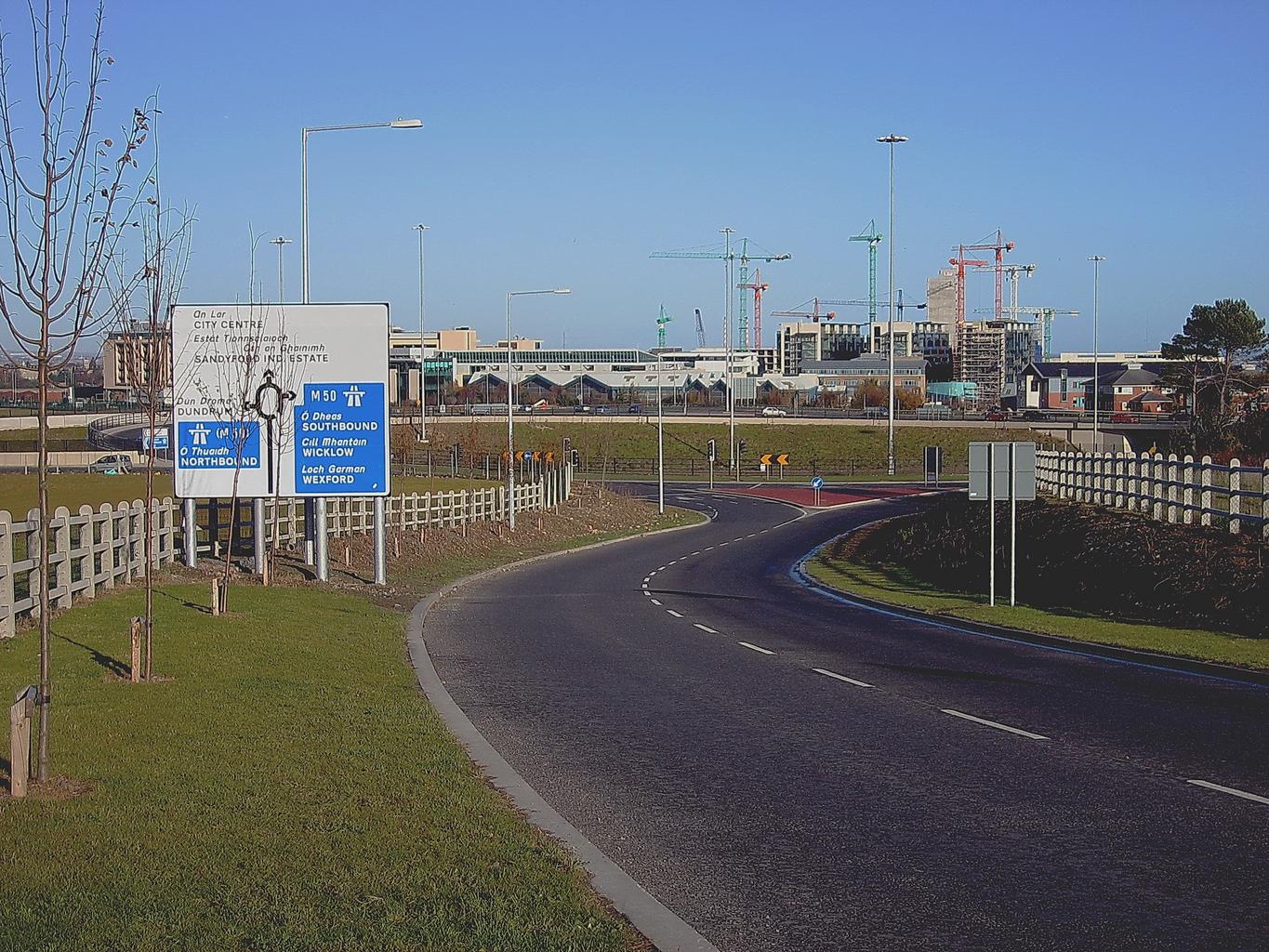
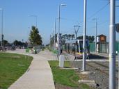
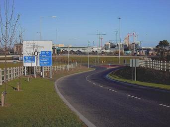
SandyfordRs w. en October en As of Nov based on the latest OS map of Dublin data updated to Sept this is the not signed as such It takes left at the junction in the foreground Note the footpaths cyclelanes etc Also note the careful positioning of the trees fortunately they are all now sadly dead Own br from org en Sarah