Download:
| Tiny | 266x128 | View | Download |
| Small | 532x256 | View | Download |
| Medium | 1064x512 | View | Download |
| Original tiff | 2096x1008 | View | Download |
| Original as jpg | 2096x1008 | View | Download |
This image was acquired from
wikimedia. It was marked as Public Domain or CC0 and is free to use. To verify, go to the source and check the information there.
Looking for more info about this image?
Try a Google Reverse Image Search for it.
Try a Google Reverse Image Search for it.
Keywords from Image Description:
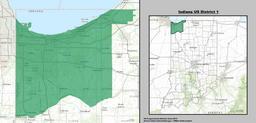
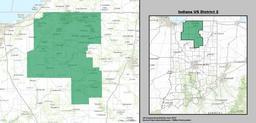
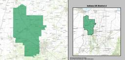
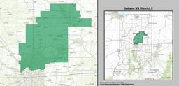
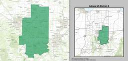
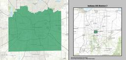
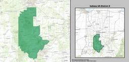
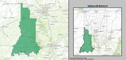
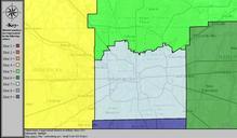
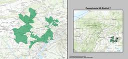
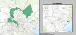
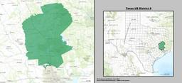
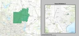
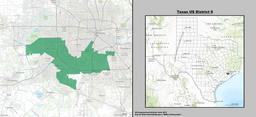
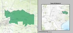
Indiana US Congressional District since .tif en Boundaries for Indiana rd United States Federal Congressional District GIS shapefile data created by the United States Department of the Interior as part of the Million Scale geospatial data project Retrieved from gov html openChapters chpbound GIS congressional districts shapefile

