Related Images


Download:
| Tiny | 90x128 | View | Download |
| Small | 180x256 | View | Download |
| Medium | 361x512 | View | Download |
| Large | 723x1024 | View | Download |
| Original | 1017x1439 | View | Download |
This image was acquired from
wikimedia. It was marked as Public Domain or CC0 and is free to use. To verify, go to the source and check the information there.
Looking for more info about this image?
Try a Google Reverse Image Search for it.
Try a Google Reverse Image Search for it.
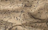
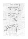
Keywords from Image Description:
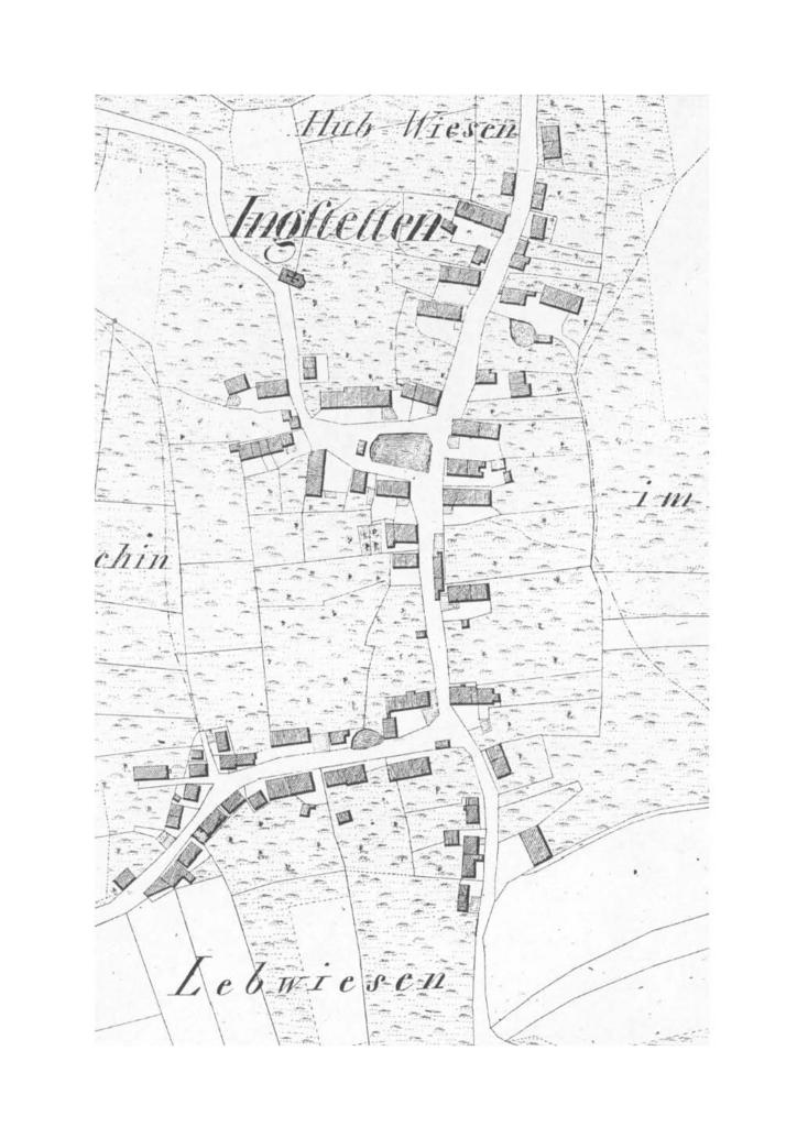
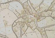
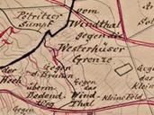
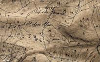
Ingstetten Flurkarte . Flurkartenausschnitt mit Ortsplan Ingstetten um Flurkarte im Mastab von ca Blatt SO Erste Landesvermessung im Knigreich Wrttemberg Landesvermessungsamt BadenWrttemberg Stuttgart PDold Original upload log de Ireas CommonsHelper page de IngstettenFlurkarte Franz Rothenbacher bytes no Information