
Related Images

Download:
| Tiny | 128x128 | View | Download |
| Small | 256x256 | View | Download |
| Medium | 512x512 | View | Download |
| Original svg | 550x550 | View | Download |
| Original as jpg | 550x550 | View | Download |
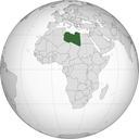
This image was acquired from
wikimedia. It was marked as Public Domain or CC0 and is free to use. To verify, go to the source and check the information there.
Looking for more info about this image?
Try a Google Reverse Image Search for it.
Try a Google Reverse Image Search for it.
Keywords from Image Description:
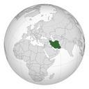
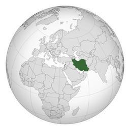
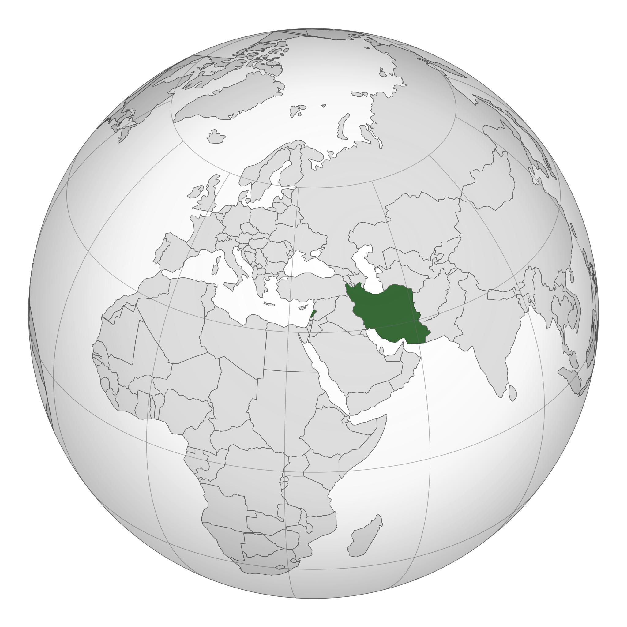
Iran Lebanon orthographic projection.svg Perl script with naturalearthdata Natural Earth Data resolution simplified to px own Gringer Natural Earth SVG locator maps of countries of Asia green and grey globe scheme SVG maps of Iran SVG maps of Lebanon Maps needing South Sudan political boundaries Relations of Iran and Lebanon