Related Images

Download:
| Tiny | 80x128 | View | Download |
| Small | 160x256 | View | Download |
| Medium | 321x512 | View | Download |
| Original svg | 560x891 | View | Download |
| Original as jpg | 560x891 | View | Download |
This image was acquired from
wikimedia. It was marked as Public Domain or CC0 and is free to use. To verify, go to the source and check the information there.
Looking for more info about this image?
Try a Google Reverse Image Search for it.
Try a Google Reverse Image Search for it.
Keywords from Image Description:
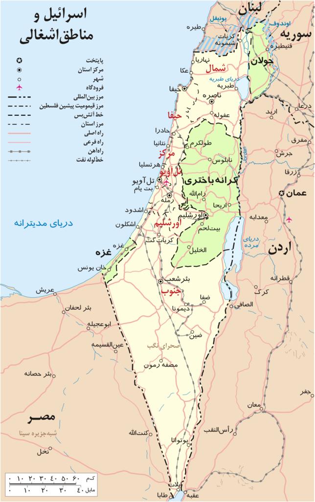
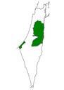
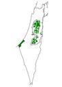
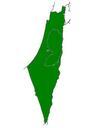
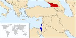
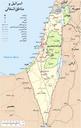
Israel and occupied territories map fa.svg Palestinian territories West Bank and Gaza Strip the Golan Heights and portions of neighbouring countries Also United Nations deployment areas in countries adjoining Israel or Israeliheld territory as of January un org pdf heavily modified Carl UN map SVG maps of Palestine SVG maps in