Related Images


Download:
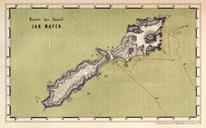
| Tiny | 205x128 | View | Download |
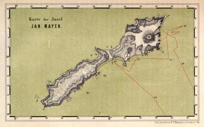
| Small | 411x256 | View | Download |
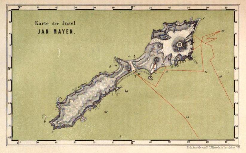
| Medium | 823x512 | View | Download |
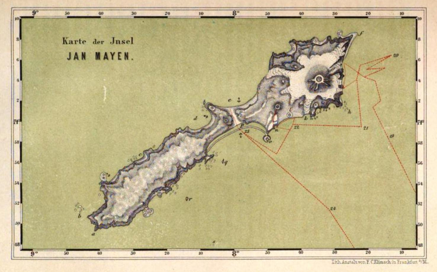
| Original | 1476x918 | View | Download |
This image was acquired from
wikimedia. It was marked as Public Domain or CC0 and is free to use. To verify, go to the source and check the information there.
Looking for more info about this image?
Try a Google Reverse Image Search for it.
Try a Google Reverse Image Search for it.
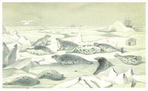
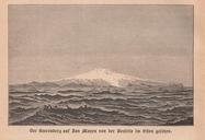
Keywords from Image Description:
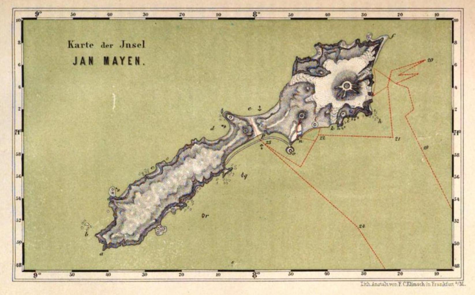
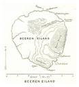
Jan Mayen map by Carl Vogt . en map of Jan Mayen island Territory of Norway North Atlantic Oceanbr plate after page of Book Nordfahrt entlang der Norwegischen Kste nach dem Nordkap den Inseln Jan Mayen und Island auf dem Schooner Joachim Hinrich unternommen whrend der Monate Mai bis Oktober von Dr Georg Berna in Begleitung von