
Related Images


Download:
| Tiny | 167x128 | View | Download |
| Small | 335x256 | View | Download |
| Original png | 668x509 | View | Download |
| Original as jpg | 668x509 | View | Download |
This image was acquired from
wikimedia. It was marked as Public Domain or CC0 and is free to use. To verify, go to the source and check the information there.
Looking for more info about this image?
Try a Google Reverse Image Search for it.
Try a Google Reverse Image Search for it.
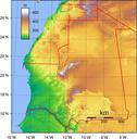
Keywords from Image Description:
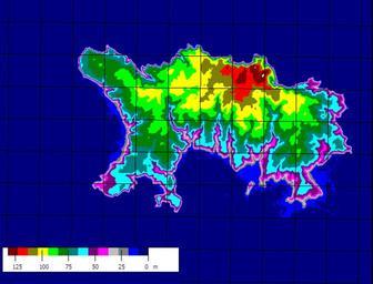
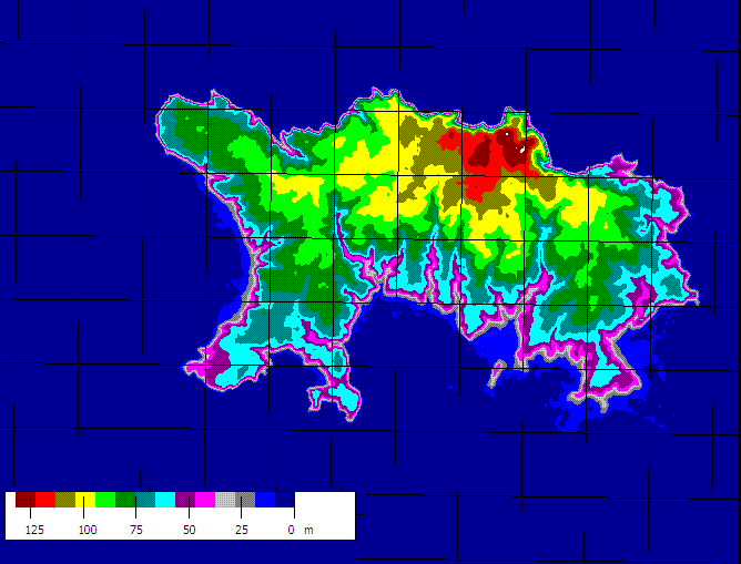
JerseyCI topograph. Topographic relief map of the Channel Island of Jersey Produced from SRTM data using Microdem Jaraalbe April UTC own assumed Jaraalbecommons Maps of Jersey Topographic maps of the Channel Islands