Related Images


Download:
| Tiny | 93x128 | View | Download |
| Small | 187x256 | View | Download |
| Medium | 375x512 | View | Download |
| Large | 750x1024 | View | Download |
| Original | 2967x4048 | View | Download |
This image was acquired from
wikimedia. It was marked as Public Domain or CC0 and is free to use. To verify, go to the source and check the information there.
Looking for more info about this image?
Try a Google Reverse Image Search for it.
Try a Google Reverse Image Search for it.
Keywords from Image Description:
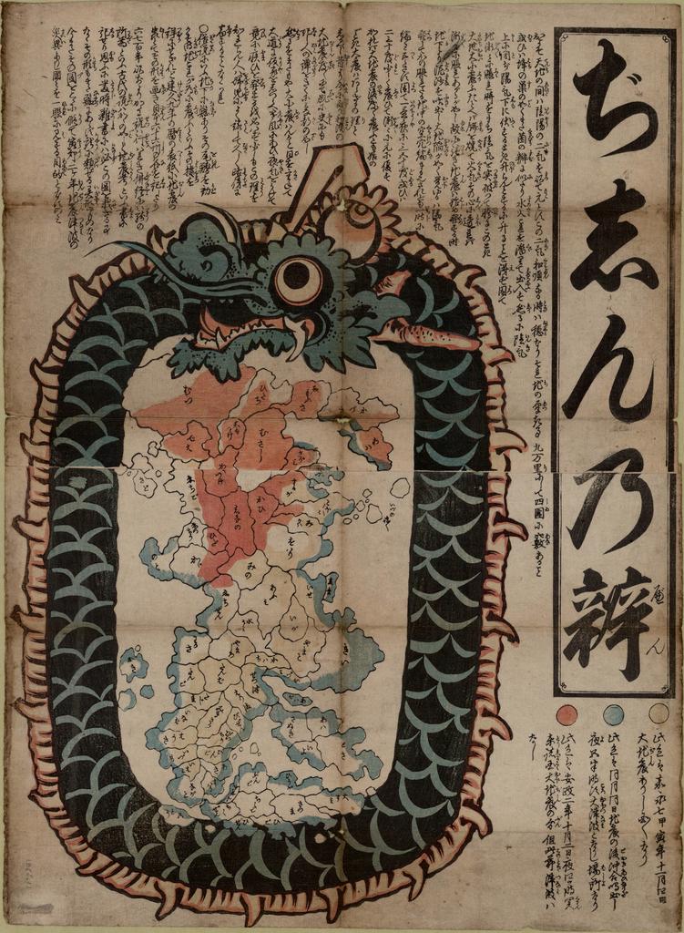
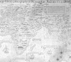
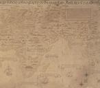
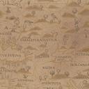
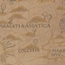
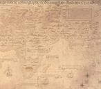
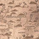
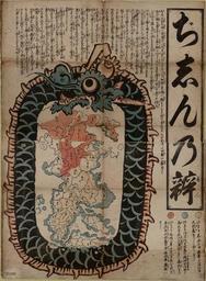
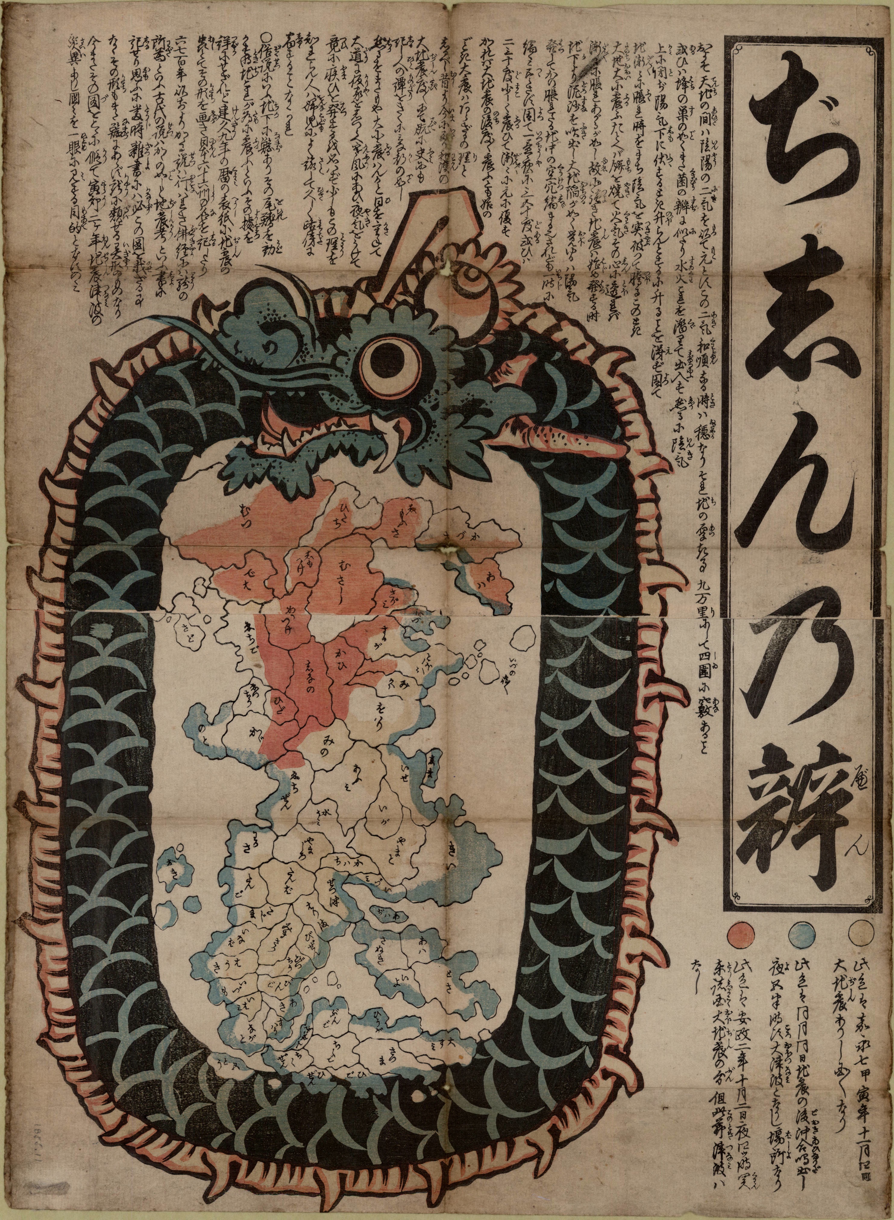
Jishinnoben. map woodcut col cm on sheet cm Yellow denotes the areas damaged by earthquake in Kaei November blue the coasts inundated by the tidal wave of that year and red the areas devastated by the earthquake of Ansei October library ubc ca UBC Library author PDJapan Old maps of Japan Ouroboros