Related Images


Download:
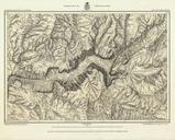
| Tiny | 158x128 | View | Download |
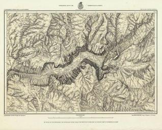
| Small | 317x256 | View | Download |
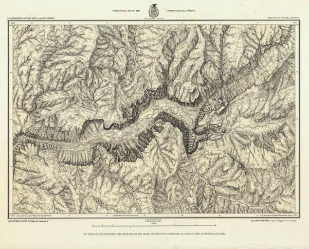
| Medium | 634x512 | View | Download |
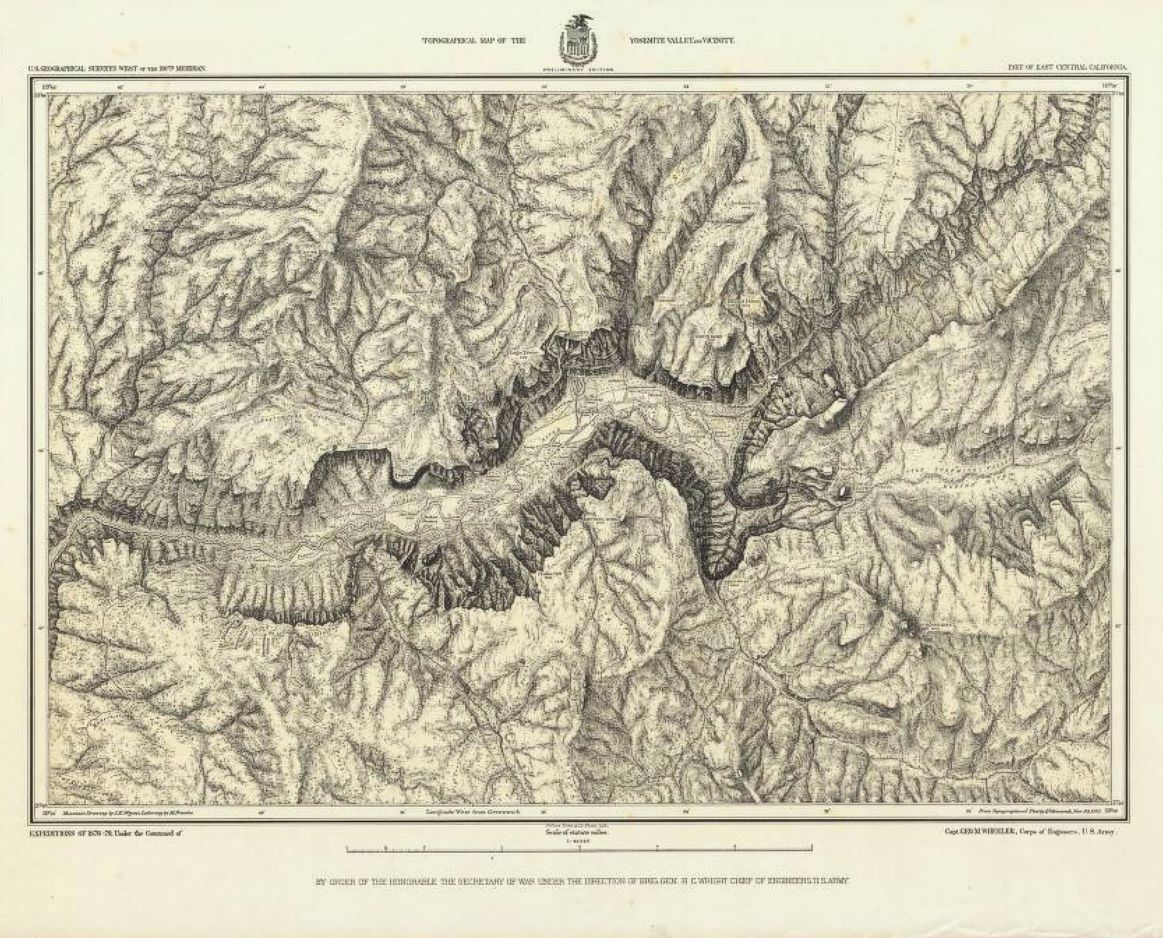
| Original | 1163x938 | View | Download |
This image was acquired from
wikimedia. It was marked as Public Domain or CC0 and is free to use. To verify, go to the source and check the information there.
Looking for more info about this image?
Try a Google Reverse Image Search for it.
Try a Google Reverse Image Search for it.
Keywords from Image Description:
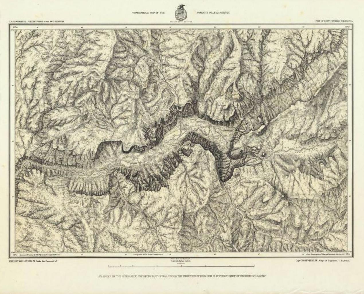
John E. Weyss. en Topographical Map Of The Yosemite Valley And Vicinity Part Of East Central California Mountain Drawing by Weyss Lettering by Franke Julius Bien Co Photo lith Expeditions Of Under the Command of Capt Geo Wheeler Corps of Engineers Army Geographical Surveys West Of The th Meridian Author Wheeler This first detailed