
Related Images

Download:
| Tiny | 158x128 | View | Download |
| Small | 316x256 | View | Download |
| Medium | 633x512 | View | Download |
| Large | 1267x1024 | View | Download |
| Original | 2497x2018 | View | Download |
This image was acquired from
wikimedia. It was marked as Public Domain or CC0 and is free to use. To verify, go to the source and check the information there.
Looking for more info about this image?
Try a Google Reverse Image Search for it.
Try a Google Reverse Image Search for it.
Keywords from Image Description:
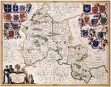
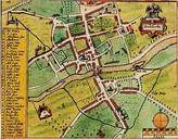
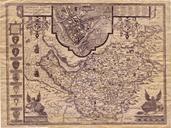
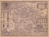
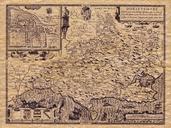
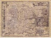
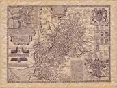
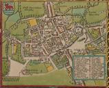
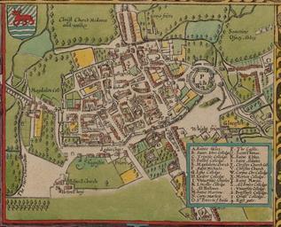
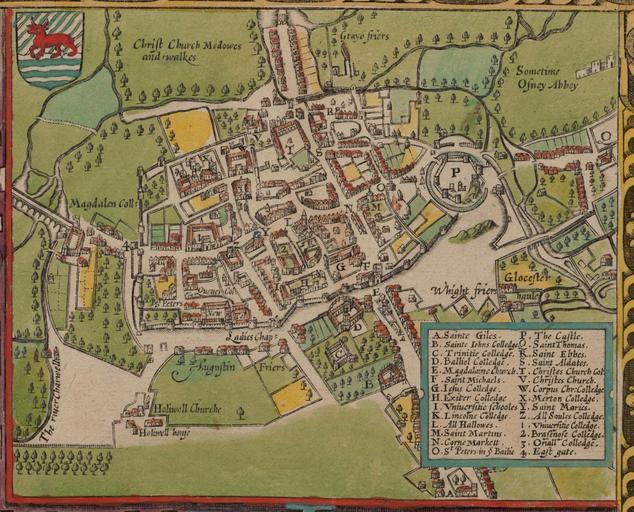
John Speed's map of Oxford .. John Speed's map of Oxford North is at the bottom Oxford is still walled city but there some buildings are outside the walls including Magdalen College is Oxford Castle is Oxford's central crossroads at the junction of the High Street and St Aldates Broad Street and Holywell Street now run along the