
Related Images


Download:
| Tiny | 118x128 | View | Download |
| Small | 237x256 | View | Download |
| Medium | 475x512 | View | Download |
| Large | 950x1024 | View | Download |
| Original | 3500x3770 | View | Download |
This image was acquired from
wikimedia. It was marked as Public Domain or CC0 and is free to use. To verify, go to the source and check the information there.
Looking for more info about this image?
Try a Google Reverse Image Search for it.
Try a Google Reverse Image Search for it.
Keywords from Image Description:
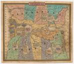
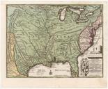
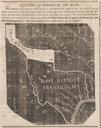
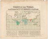
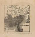
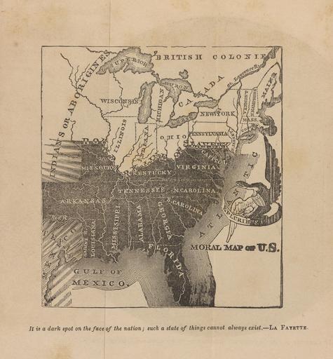
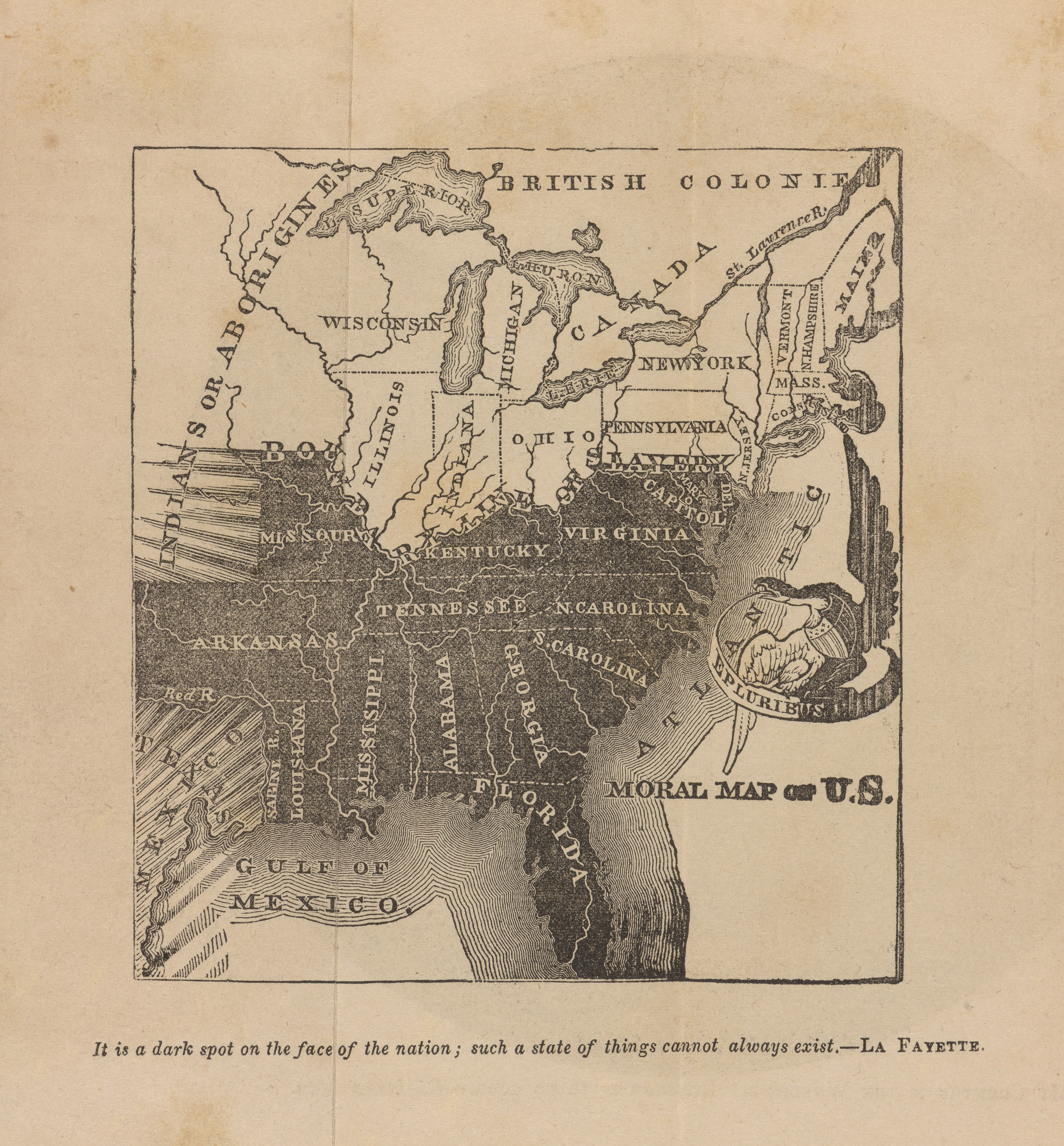
Julius Rubens Ames Moral Map of U.S. Cornell CUL PJM . This antislavery map was first published in before the annexation of Texas and republished several times up to It shows the slave states in black with blackandwhite shading representing the threatened spread of slavery into Texas and the western territories cm Institution