Related Images


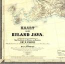
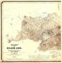
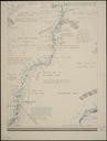
Download:
| Tiny | 167x128 | View | Download |
| Small | 335x256 | View | Download |
| Medium | 670x512 | View | Download |
| Original | 1279x976 | View | Download |
This image was acquired from
wikimedia. It was marked as Public Domain or CC0 and is free to use. To verify, go to the source and check the information there.
Looking for more info about this image?
Try a Google Reverse Image Search for it.
Try a Google Reverse Image Search for it.
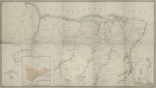
Keywords from Image Description:
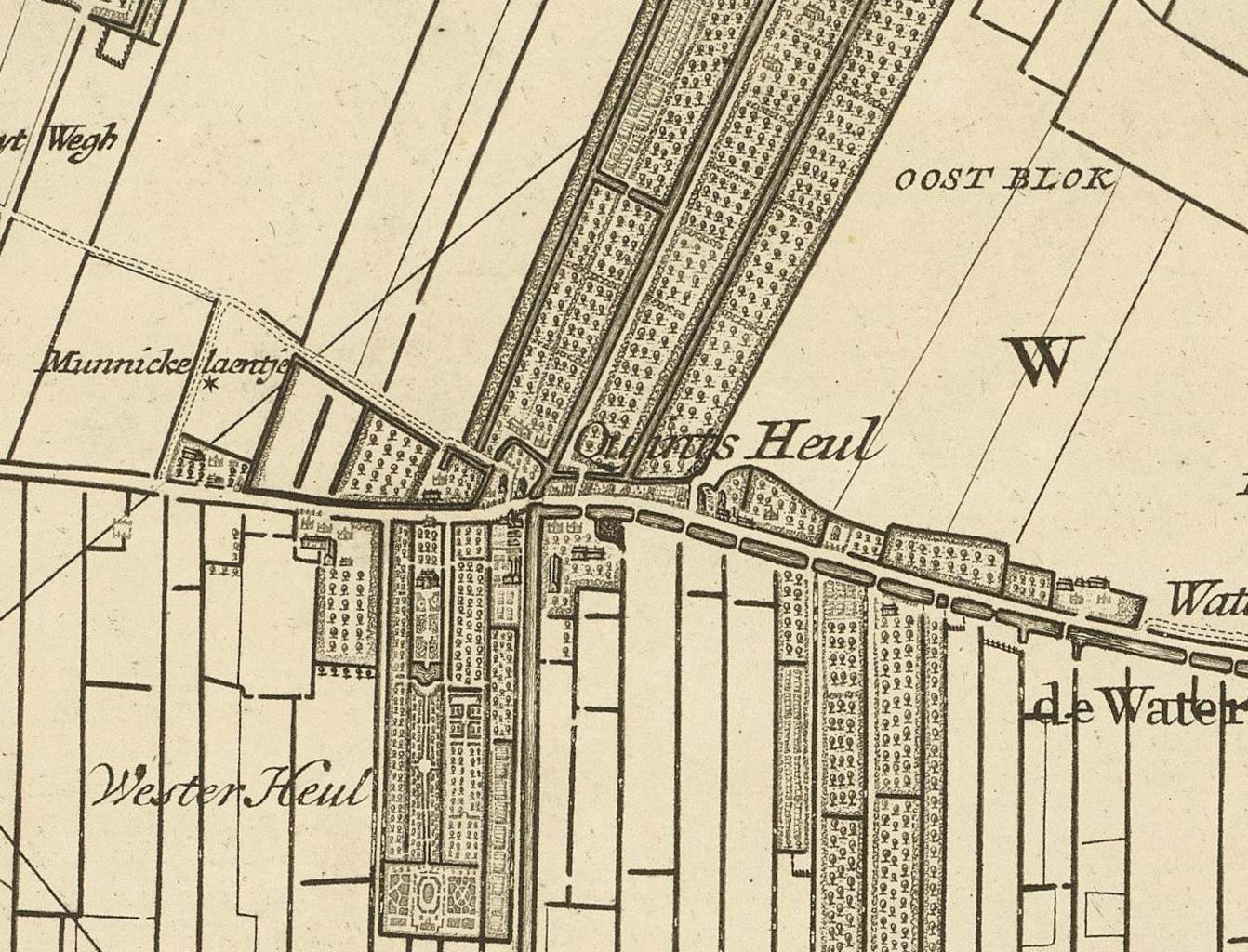
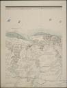
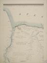
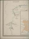
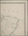
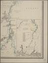
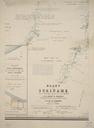
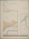
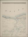
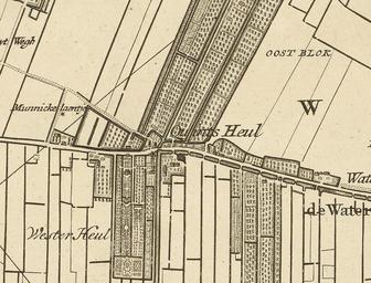
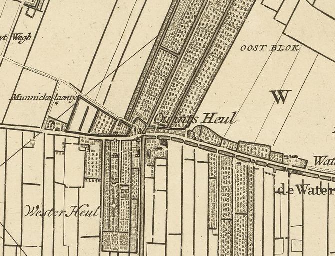
Kaart Kwintsheul. nl Kaart van het hoogheemraadschap van Delfland gemeten door de landmeters Nicolaas en Joacobus Kruchius Afgebeeld is Kwintsheul ZuidHolland nationaalarchief nl col dat Nicolaas en Joacobus Kruchius PDold Old maps of Westland Maps showing history in Dutch Maps of Kwintsheul