Related Images


Download:
| Tiny | 327x128 | View | Download |
| Small | 655x256 | View | Download |
| Medium | 1310x512 | View | Download |
| Original | 2048x800 | View | Download |
This image was acquired from
flickr. It was marked as Public Domain or CC0 and is free to use. To verify, go to the source and check the information there.
Looking for more info about this image?
Try a Google Reverse Image Search for it.
Try a Google Reverse Image Search for it.
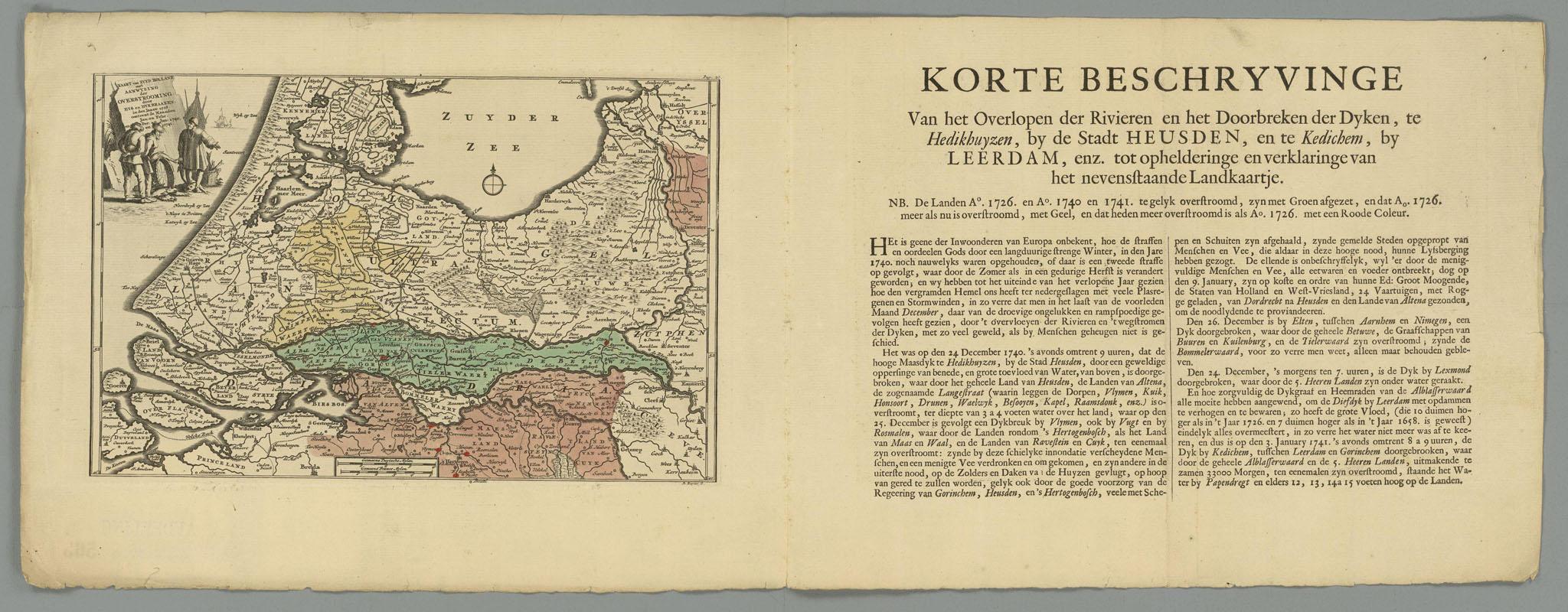
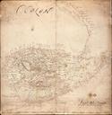
Keywords from Image Description:
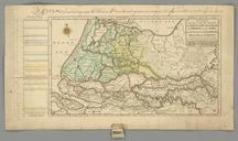
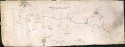
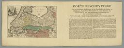
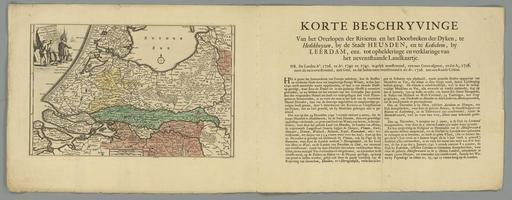
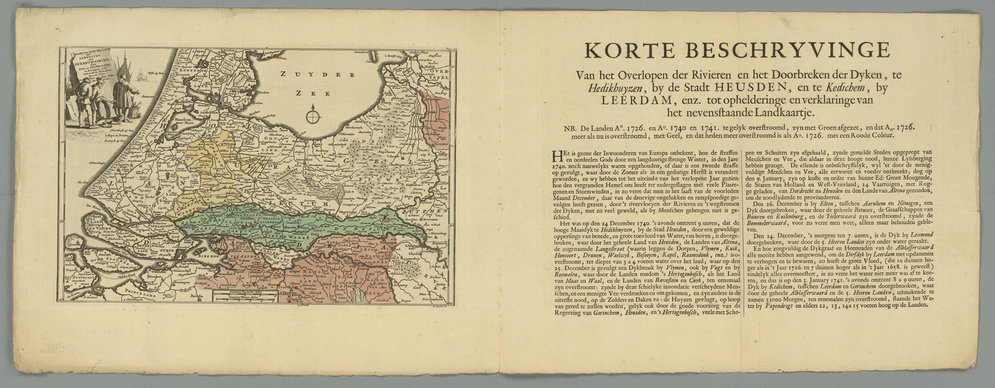
water land overstromingen nederland zuid holland zuidholland eeuw eeeuw landkaarten Nationaal Archief Beschrijving Kaart van Zuyd Holland met Aanwyzing der Overstrooming door Eys en Dykbraaken in den Jaare omtrent de Maanden Januari en Februari en December en Januari en . Bron Kaartcollectie Binnenland Hingman .VTHR inv.nr.