
Related Images


Download:
| Tiny | 151x128 | View | Download |
| Small | 303x256 | View | Download |
| Medium | 607x512 | View | Download |
| Large | 1215x1024 | View | Download |
| Original | 1503x1266 | View | Download |
This image was acquired from
wikimedia. It was marked as Public Domain or CC0 and is free to use. To verify, go to the source and check the information there.
Looking for more info about this image?
Try a Google Reverse Image Search for it.
Try a Google Reverse Image Search for it.
Keywords from Image Description:
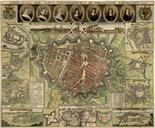
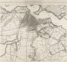
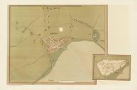
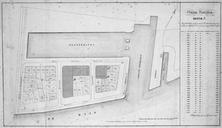
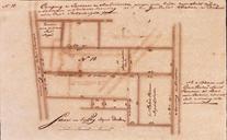
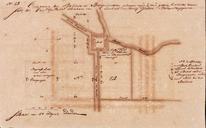
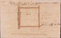
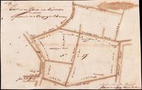
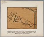
Kaart van Rotterdam en omliggende landerijen eeuw. nl Kaart van Rotterdam en omliggende landerijen eeuw century th century map Kaart uit found online in eeeuwse wijken in Noord Gemeente Rotterdam Cultuurhistorische Verkenning eeeuwse wijken in Noord Oude Noorden Agniesebuurt en Provenierswijk op rotterdam nl pdf document online