
Related Images
Download:
| Tiny | 180x128 | View | Download |
| Small | 361x256 | View | Download |
| Medium | 723x512 | View | Download |
| Large | 1446x1024 | View | Download |
| Original | 1601x1133 | View | Download |
This image was acquired from
wikimedia. It was marked as Public Domain or CC0 and is free to use. To verify, go to the source and check the information there.
Looking for more info about this image?
Try a Google Reverse Image Search for it.
Try a Google Reverse Image Search for it.
Keywords from Image Description:
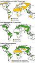
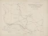
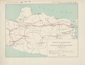
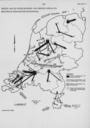
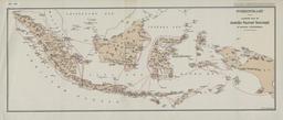
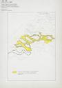
KAARTEN SGD Drier and wetter areas during the Altithermal Period.jpeg accession number en The individual creators of this map are unknown it was commissioned by the House of Representatives of the Netherlands De kaart maakte oorspronkelijk deel uit van het Carbon Dioxide Effects Research and Assessment Program help warp This map