
Related Images


This image was acquired from
wikimedia. It was marked as Public Domain or CC0 and is free to use. To verify, go to the source and check the information there.
Looking for more info about this image?
Try a Google Reverse Image Search for it.
Try a Google Reverse Image Search for it.
Keywords from Image Description:
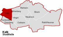
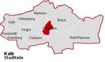
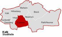
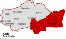
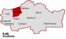
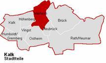
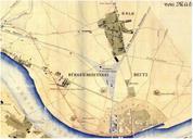
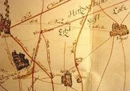
Kalk . Karte von KlnKalk und Umgebung aus dem Jahre Eigenscan aus Rheinischer Stdteatlas Lfg Nr Kalk des Landschaftsverband Rheinland author PDold Cologne in the th century Parts of old maps of Cologne KlnKalk KlnVingst